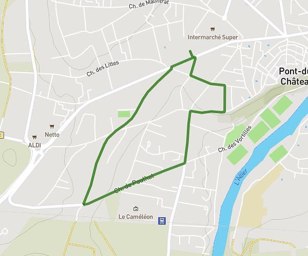
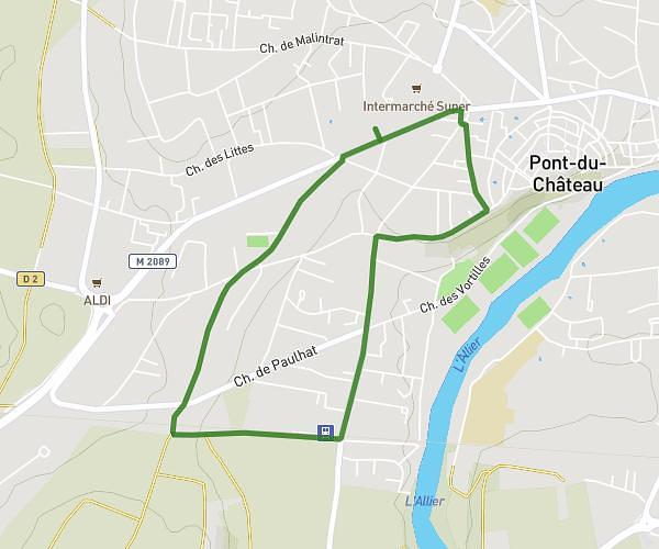
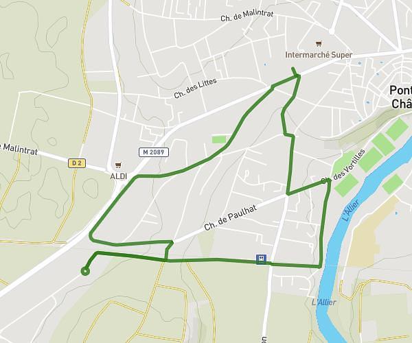
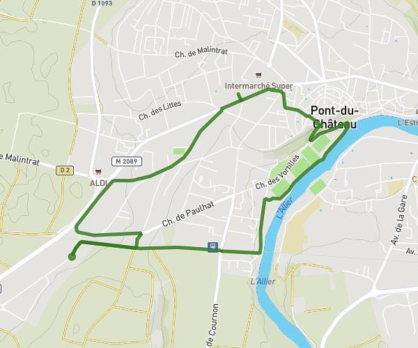
This running route covers 7.807mi starting from Vollore-Ville, Puy-de-Dôme. The run is a loop trail and returns to the trailhead. This run is rated as hard, expect about 1h34m to complete it. The route has an elevation gain of 886ft and an elevation loss of 883ft.
12.5
Route details
4.97mph
Speed
1077 kcal
Calories burned
Loop trail
Route type
1138ft
Min altitude
1476ft
Max altitude
Route profile
886ft
Elevation gain
883ft
Elevation loss
1138ft
Min altitude
1476ft
Max altitude
How to get there
Trailhead: La Tissoniere, 63120 Vollore-Ville
GPS coordinates of the trailhead: 45.78332, 3.59028 / 45°46'59'' N, 3°35'25'' E