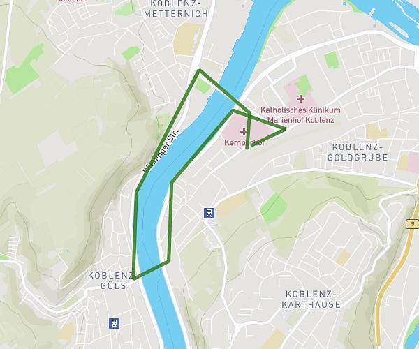
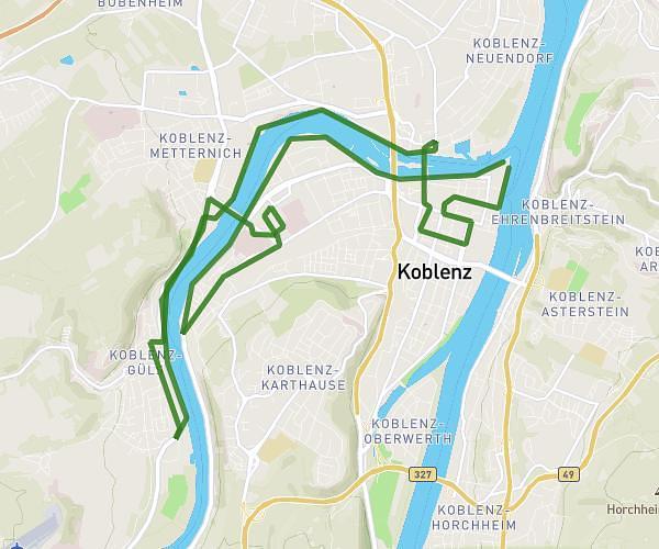
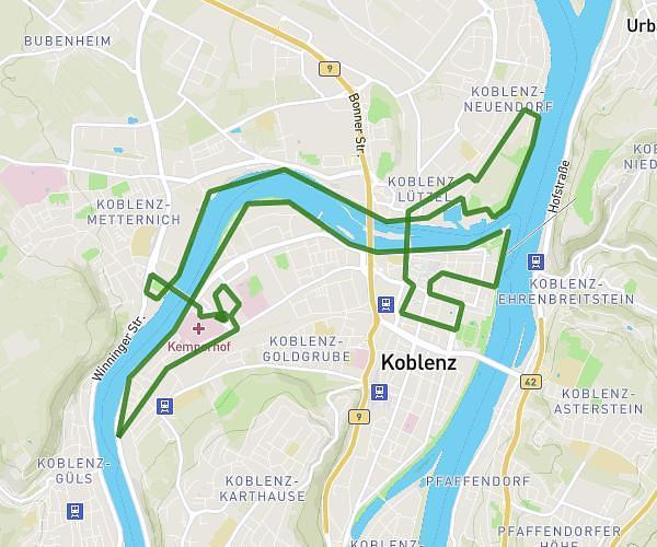
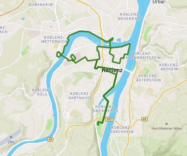
This running route covers 5.306mi starting from Wierschem, Rhineland-Palatinate. The run is a loop trail and returns to the trailhead. This run is rated as moderate, expect about 1h10m to complete it. The route has an elevation gain of 243ft and an elevation loss of 348ft.
burg eltz
Route details
4.55mph
Speed
800 kcal
Calories burned
Loop trail
Route type
574ft
Min altitude
922ft
Max altitude
Route profile
243ft
Elevation gain
348ft
Elevation loss
574ft
Min altitude
922ft
Max altitude
How to get there
Trailhead: Hinter Der Kirche 23, 56294 Wierschem, Germany
GPS coordinates of the trailhead: 50.228129, 7.352294 / 50°13'41'' N, 7°21'8'' E