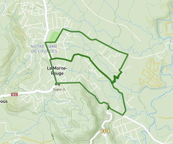
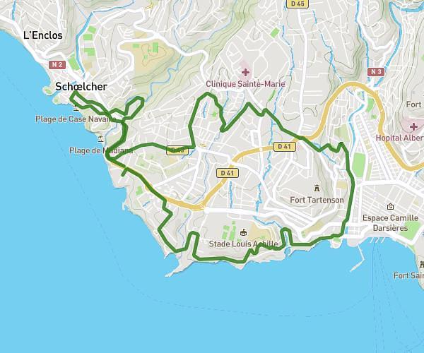
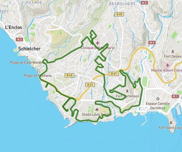
This running route covers 2.039mi starting from Fort-de-France, Martinique. The run is a loop trail and returns to the trailhead. This run is rated as easy, expect about 25m to complete it. The route has an elevation gain of 141ft and an elevation loss of 105ft.
Bellevue
Route details
4.89mph
Speed
286 kcal
Calories burned
Loop trail
Route type
46ft
Min altitude
187ft
Max altitude
Route profile
141ft
Elevation gain
105ft
Elevation loss
46ft
Min altitude
187ft
Max altitude
How to get there
Trailhead: 16 Rue Marie-Thérèse Gertrude, 97200, Fort-de-France, Martinique
GPS coordinates of the trailhead: 14.60303, -61.0857 / 14°36'10'' N, 61°5'8'' W