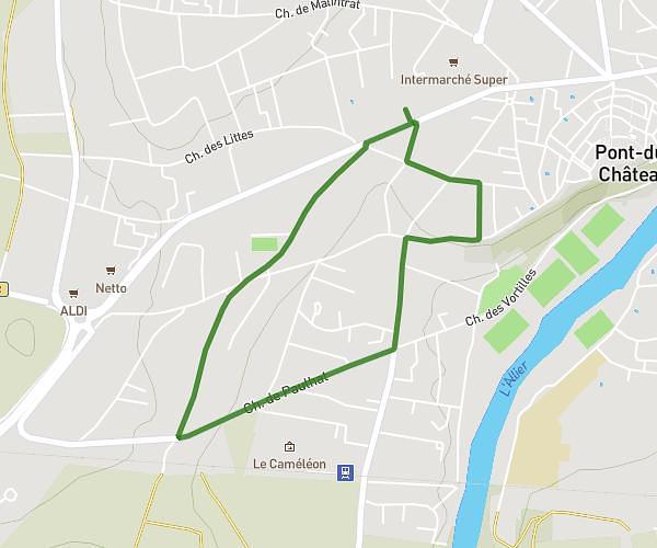
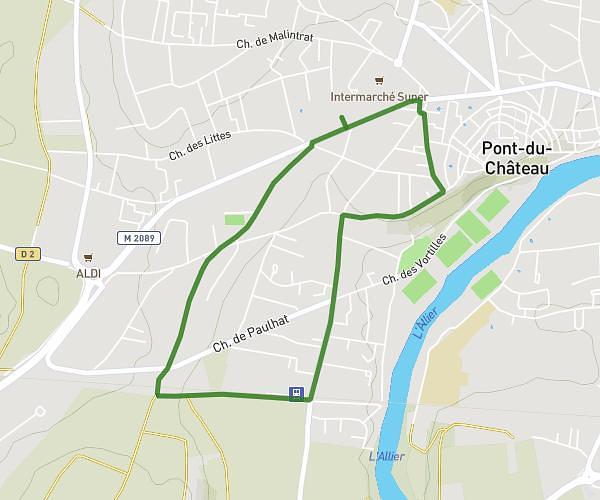
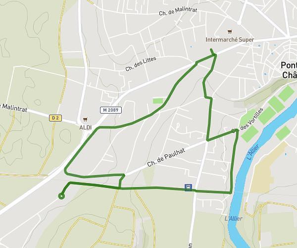
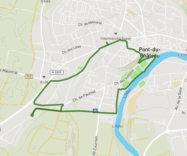
This running route covers 4.067mi starting from Vollore-Ville, Puy-de-Dôme. The run does not return to the trailhead and ends near Chemin Du Naud, 63120 Vollore-Ville, France. This run is rated as easy, expect about 43m58s to complete it. The route has an elevation gain of 1765ft and an elevation loss of 23ft.
n2 ;) Ex2
Route details
5.55mph
Speed
503 kcal
Calories burned
Point to point
Route type
1739ft
Min altitude
3504ft
Max altitude
Route profile
1765ft
Elevation gain
23ft
Elevation loss
1739ft
Min altitude
3504ft
Max altitude
How to get there
Trailhead: D 131, 63120 Vollore-Ville, France
GPS coordinates of the trailhead: 45.80524, 3.598199 / 45°48'18'' N, 3°35'53'' E