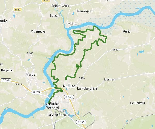
This running route covers 2.84mi starting from Montoir-de-Bretagne, Loire-Atlantique. The run is a loop trail and returns to the trailhead. This run is rated as easy, expect about 39m10s to complete it. The route has an elevation gain of 72ft and an elevation loss of 69ft.
Montoir lotissement
Route details
4.35mph
Speed
448 kcal
Calories burned
Loop trail
Route type
3ft
Min altitude
30ft
Max altitude
Route profile
72ft
Elevation gain
69ft
Elevation loss
3ft
Min altitude
30ft
Max altitude
How to get there
Trailhead: Rue Du Docteur Roux, 44550 Montoir-de-Bretagne
GPS coordinates of the trailhead: 47.32934, -2.15251 / 47°19'45'' N, 2°9'9'' W