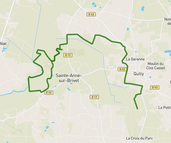
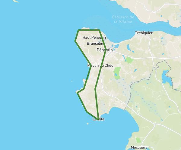
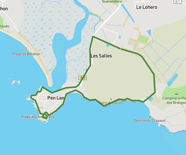
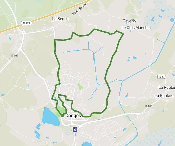
This running route covers 16.929mi starting from La Roche-Bernard, Morbihan. The run does not return to the trailhead and ends near 21 Lotissement De La Ville Jossy, 56130 Nivillac, France. This run is rated as strenuous, expect about 3h2m to complete it. The route has an elevation gain of 1978ft and an elevation loss of 1886ft.
Fin vilain trail
Route details
5.58mph
Speed
2081 kcal
Calories burned
Point to point
Route type
0ft
Min altitude
213ft
Max altitude
Route profile
1978ft
Elevation gain
1886ft
Elevation loss
0ft
Min altitude
213ft
Max altitude
How to get there
Trailhead: 5 Chemin Du Pâtis, 56130 La Roche-Bernard, France
GPS coordinates of the trailhead: 47.520444, -2.305682 / 47°31'13'' N, 2°18'20'' W