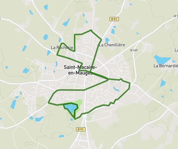
This running route covers 0.633mi starting from Cholet, Maine-et-Loire. The run is a loop trail and returns to the trailhead. This run is rated as easy, expect about 7m to complete it. The route has an elevation gain of 33ft and an elevation loss of 33ft.
1km x 4
Route details
5.42mph
Speed
80 kcal
Calories burned
Loop trail
Route type
390ft
Min altitude
417ft
Max altitude
Route profile
33ft
Elevation gain
33ft
Elevation loss
390ft
Min altitude
417ft
Max altitude
How to get there
Trailhead: 20 Avenue Du Maréchal Leclerc, 49300 Cholet, France
GPS coordinates of the trailhead: 47.06385, -0.86453 / 47°3'49'' N, 0°51'52'' W