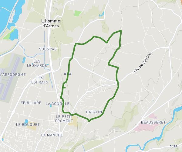
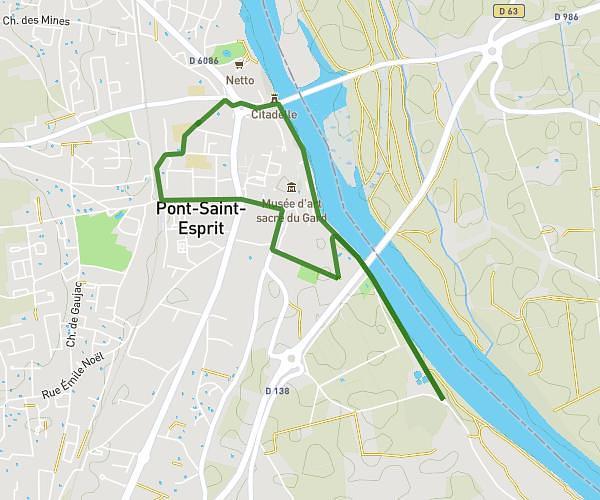
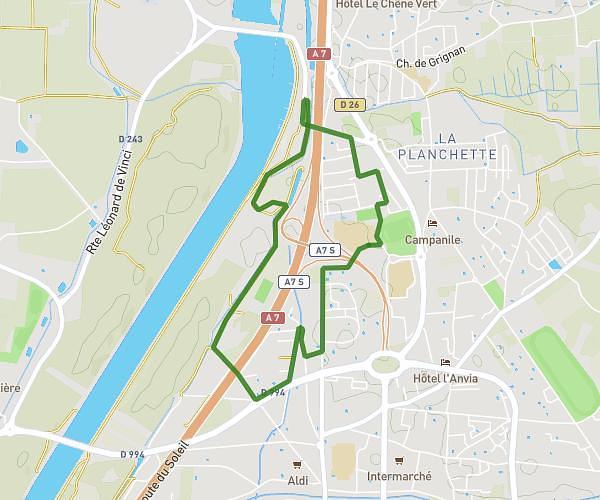
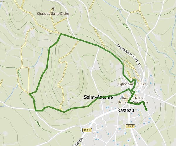
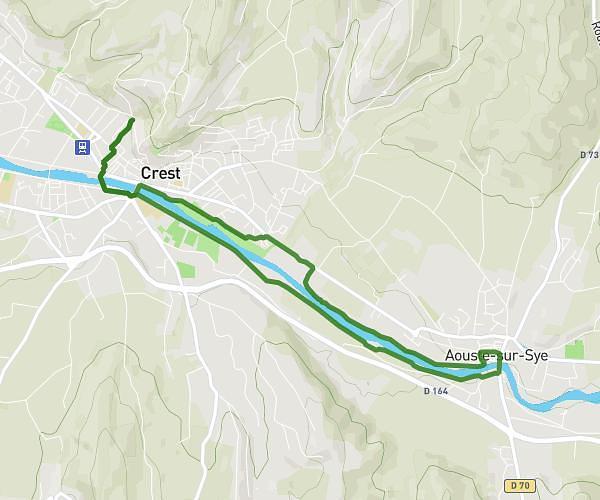
This running route covers 5.083mi starting from Saint-Paul-Trois-Châteaux, Drôme. The run is a loop trail and returns to the trailhead. This run is rated as moderate, expect about 49m to complete it. The route has an elevation gain of 36ft and an elevation loss of 43ft.
Saint Paul
Route details
6.23mph
Speed
560 kcal
Calories burned
Loop trail
Route type
262ft
Min altitude
299ft
Max altitude
Route profile
36ft
Elevation gain
43ft
Elevation loss
262ft
Min altitude
299ft
Max altitude
How to get there
Trailhead: 30 Chemin Des Goumoux, 26130 Saint-Paul-Trois-Châteaux, France
GPS coordinates of the trailhead: 44.35023, 4.7754 / 44°21'0'' N, 4°46'31'' E