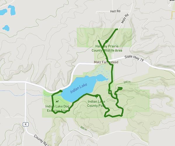
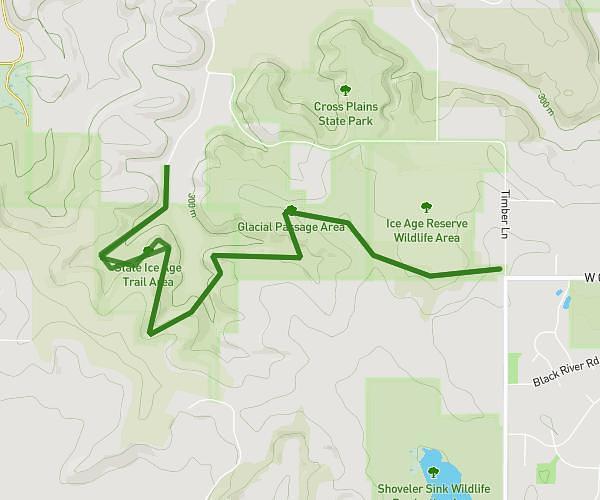
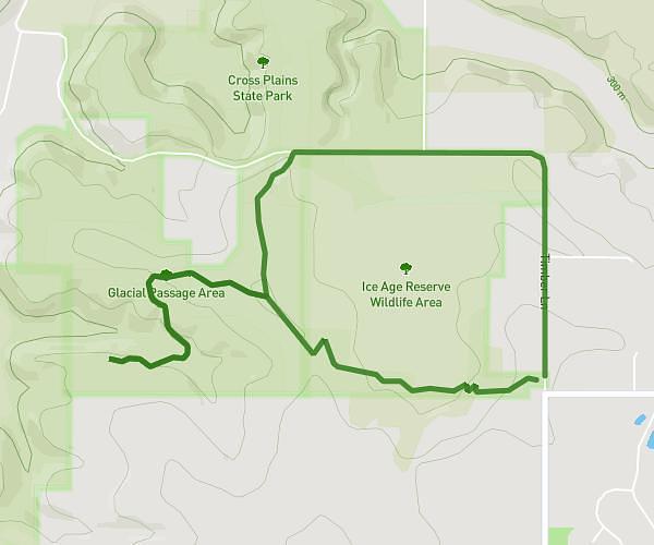
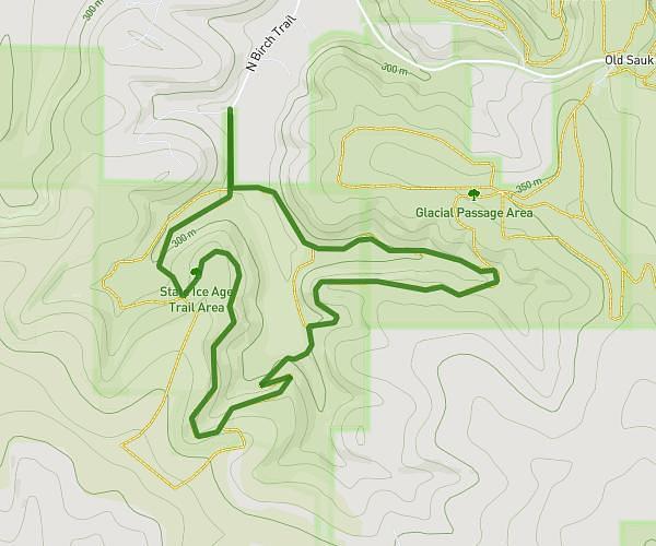
This hiking trail covers 2.58mi starting from Cross Plains, Wisconsin. The hike is a loop trail and returns to the trailhead. This hike is rated as easy, plan for about 14m to complete it. The route has an elevation gain of 167ft and an elevation loss of 167ft.
IAT Cross Plains (Part 5)
Route details
11.05mph
Speed
100 kcal
Calories burned
2.5%
Avg grade
Loop trail
Route type
863ft
Min altitude
906ft
Max altitude
Route profile
167ft
Elevation gain
167ft
Elevation loss
863ft
Min altitude
906ft
Max altitude
How to get there
Trailhead: Main Street, 53528 Cross Plains
GPS coordinates of the trailhead: 43.11248, -89.64763 / 43°6'44'' N, 89°38'51'' W