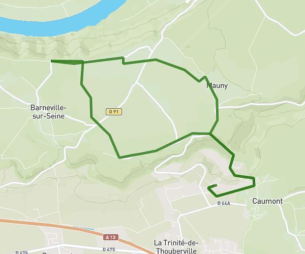
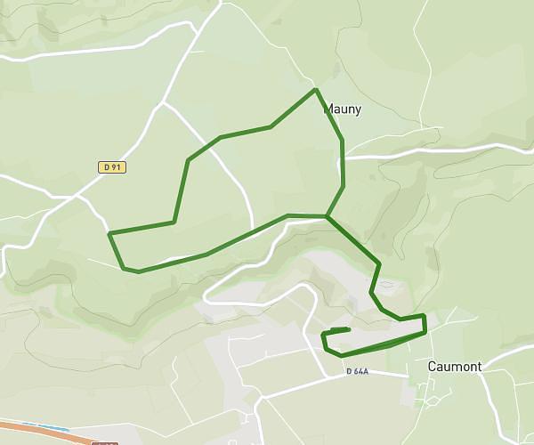
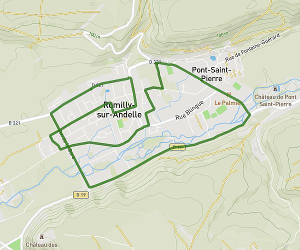
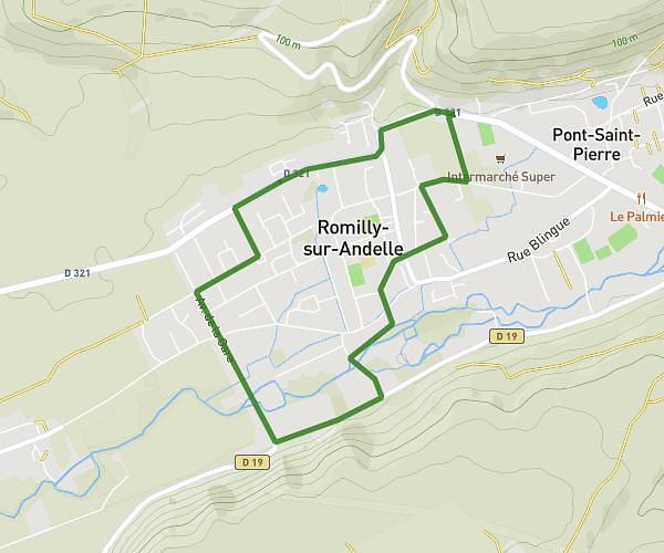
This running route covers 3.88mi starting from Bosgouet, Eure. The run is a loop trail and returns to the trailhead. This run is rated as easy, expect about 45m to complete it. The route has an elevation gain of 39ft and an elevation loss of 23ft.
6 km Bosgouet
Route details
5.18mph
Speed
515 kcal
Calories burned
Loop trail
Route type
400ft
Min altitude
436ft
Max altitude
Route profile
39ft
Elevation gain
23ft
Elevation loss
400ft
Min altitude
436ft
Max altitude
How to get there
Trailhead: 1236 Route Des Grands Fonds, 27310 Bosgouet, France
GPS coordinates of the trailhead: 49.345548, 0.846409 / 49°20'43'' N, 0°50'47'' E