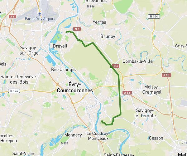
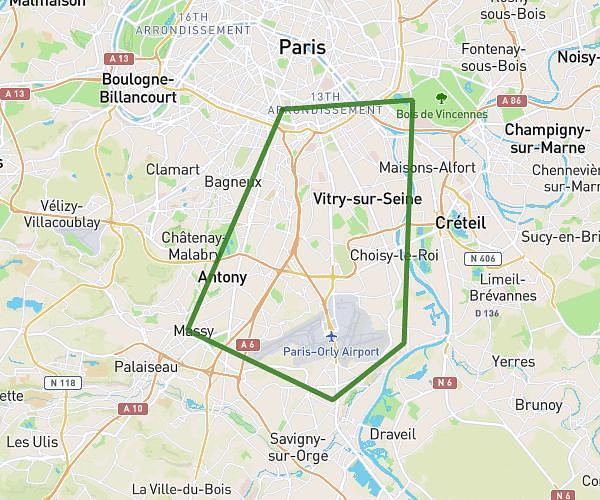
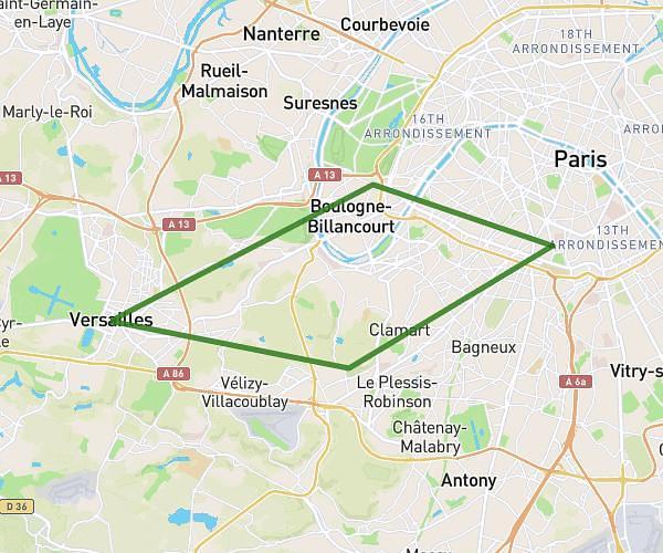
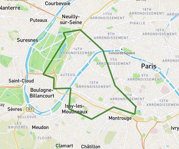
This cycling route covers 13.004mi starting from Île-de-France, Paris. The ride is a loop trail and returns to the trailhead. This route is rated as moderate, plan for about 1h40m to complete it. The route has an elevation gain of 682ft and an elevation loss of 679ft.
Parcours Sud-Est (Bois de Vincenne)
Route details
887 kcal
Calories burned
2.0%
Avg grade
Loop trail
Route type
95ft
Min altitude
269ft
Max altitude
Route profile
682ft
Elevation gain
679ft
Elevation loss
95ft
Min altitude
269ft
Max altitude
How to get there
Trailhead: 2 Villa Soutine, 75014 Paris, France
GPS coordinates of the trailhead: 48.82648, 2.33568 / 48°49'35'' N, 2°20'8'' E