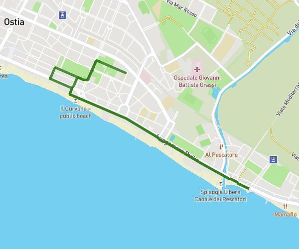
This running route covers 7.784mi starting from Roma, Rome. The run is a loop trail and returns to the trailhead. This run is rated as hard, expect about 1h15m to complete it. The route has an elevation gain of 167ft and an elevation loss of 82ft.
Luca
Route details
6.23mph
Speed
858 kcal
Calories burned
Loop trail
Route type
85ft
Min altitude
180ft
Max altitude
Route profile
167ft
Elevation gain
82ft
Elevation loss
85ft
Min altitude
180ft
Max altitude
How to get there
Trailhead: Via Andrea Solario 100, 00142 Roma Rome, Italy
GPS coordinates of the trailhead: 41.83793, 12.48832 / 41°50'16'' N, 12°29'17'' E