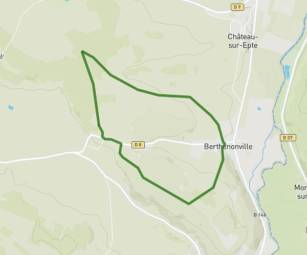
This walking route covers 2.977mi starting from Chars, Val-d'Oise. The walk is a loop trail and returns to the trailhead. This walk is rated as easy, plan for about 1h4m to complete it. The route has an elevation gain of 285ft and an elevation loss of 282ft.
fleurs
Route details
21:30/mi
Pace
261 kcal
Calories burned
Loop trail
Route type
200ft
Min altitude
315ft
Max altitude
Route profile
285ft
Elevation gain
282ft
Elevation loss
200ft
Min altitude
315ft
Max altitude
How to get there
Trailhead: 2 Rue De Gisors, 95750 Chars, France
GPS coordinates of the trailhead: 49.160397, 1.936958 / 49°9'37'' N, 1°56'13'' E