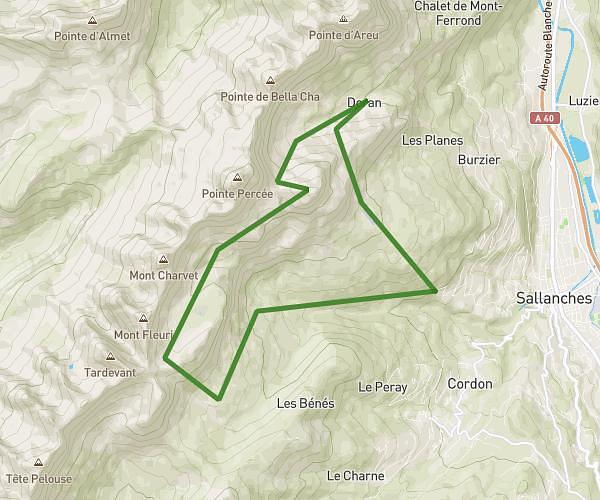
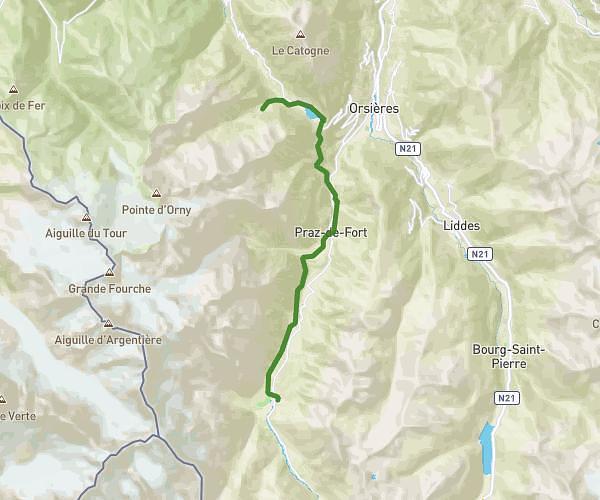
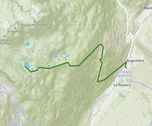
This running route covers 14.874mi starting from Servoz, Haute-Savoie. The run does not return to the trailhead and ends near Chemin Rural Des Frênes, 74310 Les Houches, France. This run is rated as strenuous, expect about 10h to complete it. The route has an elevation gain of 2743ft and an elevation loss of 2244ft.
Tour de la tête noir et traversée du Brévent
Route details
1.49mph
Speed
6860 kcal
Calories burned
Point to point
Route type
4967ft
Min altitude
7470ft
Max altitude
Route profile
2743ft
Elevation gain
2244ft
Elevation loss
4967ft
Min altitude
7470ft
Max altitude
How to get there
Trailhead: Chemin Rural Des Frênes, 74310 Servoz, France
GPS coordinates of the trailhead: 45.9352, 6.78615 / 45°56'6'' N, 6°47'10'' E