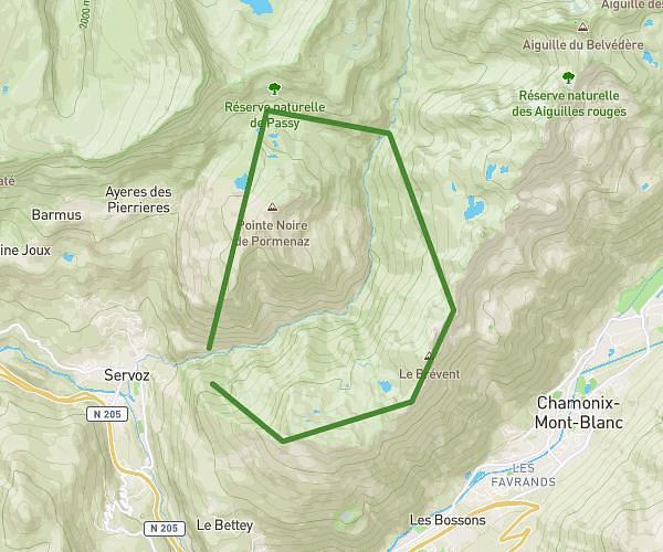
This running route covers 14.833mi starting from Sallanches, Haute-Savoie. The run is a loop trail and returns to the trailhead. This run is rated as strenuous, expect about 7h30m to complete it. The route has an elevation gain of 6250ft and an elevation loss of 6247ft.
Le tour des quatres tête depuis le parking de Lintre
Route details
1.98mph
Speed
5145 kcal
Calories burned
Loop trail
Route type
3258ft
Min altitude
7441ft
Max altitude
Route profile
6250ft
Elevation gain
6247ft
Elevation loss
3258ft
Min altitude
7441ft
Max altitude
How to get there
Trailhead: 2767 Route De Sainte-Anne, 74700 Sallanches, France
GPS coordinates of the trailhead: 45.93725, 6.60243 / 45°56'14'' N, 6°36'8'' E