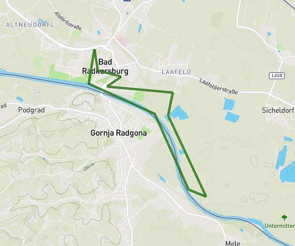
This running route covers 6.226mi starting from Bad Radkersburg, Styria. The run does not return to the trailhead and ends near Alfred Merlini-Allee 6, 8490 Bad Radkersburg, Austria. This run is rated as moderate, expect about 1h7m to complete it. The route has an elevation gain of 253ft and an elevation loss of 240ft.
5er Challenge
Route details
5.57mph
Speed
766 kcal
Calories burned
Point to point
Route type
653ft
Min altitude
709ft
Max altitude
Route profile
253ft
Elevation gain
240ft
Elevation loss
653ft
Min altitude
709ft
Max altitude
How to get there
Trailhead: Alfred Merlini-Allee 1, 8490 Bad Radkersburg, Austria
GPS coordinates of the trailhead: 46.685397, 15.983724 / 46°41'7'' N, 15°59'1'' E