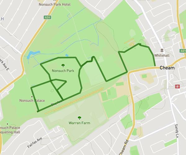
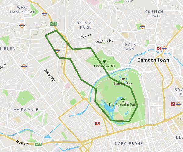
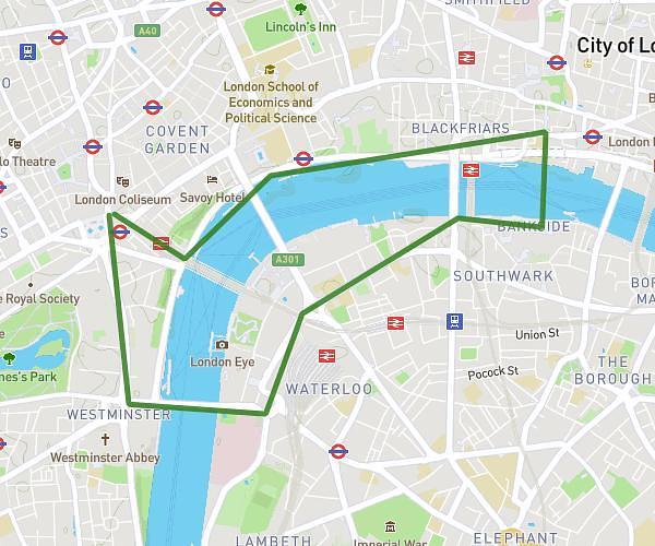
This running route covers 3.221mi starting from London, England. The run is a loop trail and returns to the trailhead. This run is rated as easy, expect about 31m to complete it. The route has an elevation gain of 295ft and an elevation loss of 331ft.
Park run 5k
Route details
6.23mph
Speed
354 kcal
Calories burned
Loop trail
Route type
98ft
Min altitude
174ft
Max altitude
Route profile
295ft
Elevation gain
331ft
Elevation loss
98ft
Min altitude
174ft
Max altitude
How to get there
Trailhead: 5 Wightman Road, Haringey, London, N4 1RQ, United Kingdom
GPS coordinates of the trailhead: 51.577776, -0.10418 / 51°34'39'' N, 0°6'15'' W