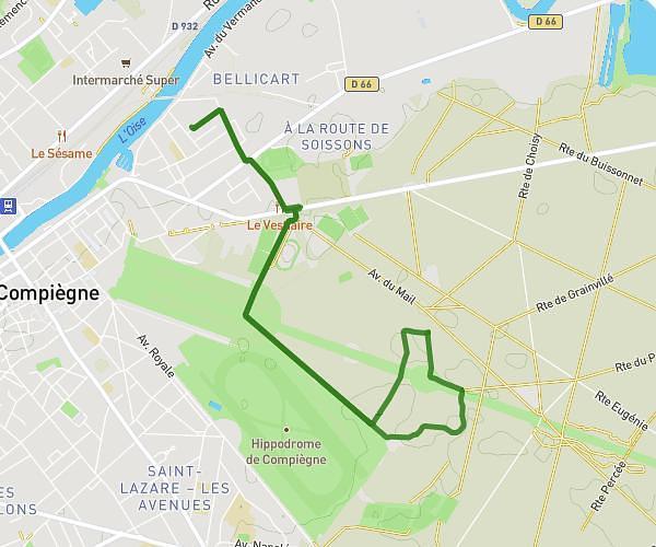
This running route covers 7.443mi starting from Chevrières, Oise. The run is a loop trail and returns to the trailhead. This run is rated as moderate, expect about 3h15m to complete it. The route has an elevation gain of 26ft and an elevation loss of 10ft.
Chevrieres
Route details
2.29mph
Speed
2230 kcal
Calories burned
Loop trail
Route type
105ft
Min altitude
121ft
Max altitude
Route profile
26ft
Elevation gain
10ft
Elevation loss
105ft
Min altitude
121ft
Max altitude
How to get there
Trailhead: 157 Rue De La Gare, 60710 Chevrières, France
GPS coordinates of the trailhead: 49.34544, 2.682221 / 49°20'43'' N, 2°40'55'' E