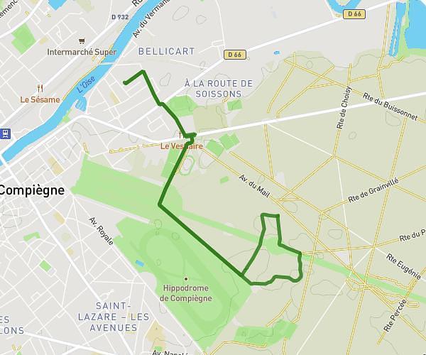
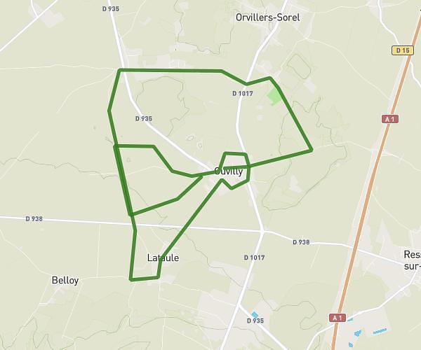
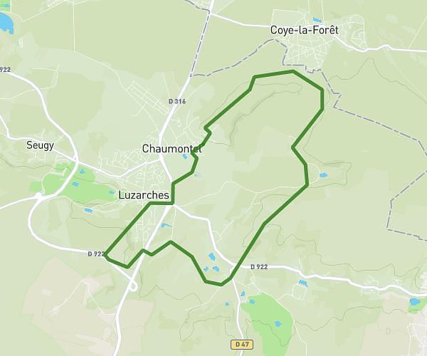
This running route covers 20.523mi starting from Pont-Sainte-Maxence, Oise. The run does not return to the trailhead and ends near 70 Rue Du Vieux Moulin, 60700 Pont-Sainte-Maxence, France. This run is rated as strenuous, expect about 7h49m to complete it. The route has an elevation gain of 7ft and an elevation loss of 0ft.
pont ste maxence 2
Route details
2.62mph
Speed
5366 kcal
Calories burned
Point to point
Route type
95ft
Min altitude
102ft
Max altitude
Route profile
7ft
Elevation gain
0ft
Elevation loss
95ft
Min altitude
102ft
Max altitude
How to get there
Trailhead: 2 Rue De La République, 60700 Pont-Sainte-Maxence, France
GPS coordinates of the trailhead: 49.303284, 2.604463 / 49°18'11'' N, 2°36'16'' E