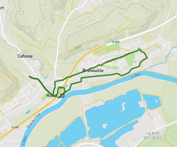
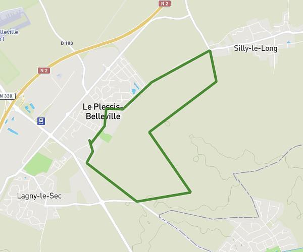
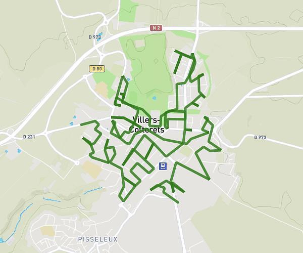
This running route covers 12.003mi starting from Crépy-en-Valois, Oise. The run does not return to the trailhead and ends near 1 Rue Des Jonquilles, 60800 Crépy-en-Valois, France. This run is rated as strenuous, expect about 4h8m to complete it. The route has an elevation gain of 30ft and an elevation loss of 7ft.
crepy en valois 2
Route details
2.9mph
Speed
2835 kcal
Calories burned
Point to point
Route type
312ft
Min altitude
335ft
Max altitude
Route profile
30ft
Elevation gain
7ft
Elevation loss
312ft
Min altitude
335ft
Max altitude
How to get there
Trailhead: 75 Rue Saint-Lazare, 60800 Crépy-en-Valois, France
GPS coordinates of the trailhead: 49.232754, 2.892153 / 49°13'57'' N, 2°53'31'' E