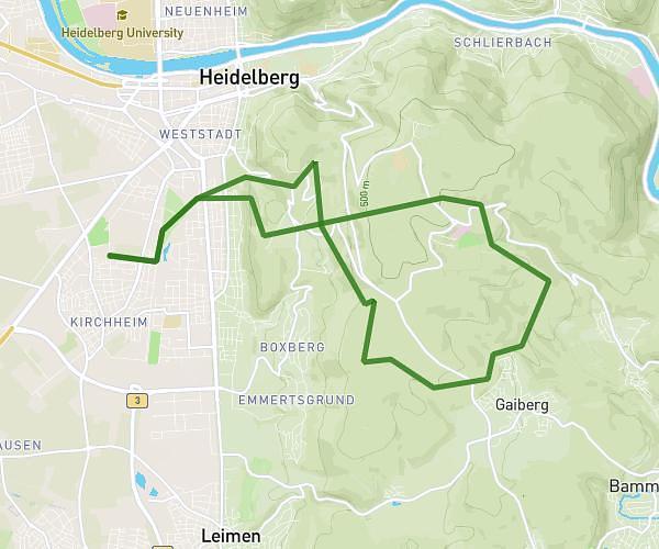
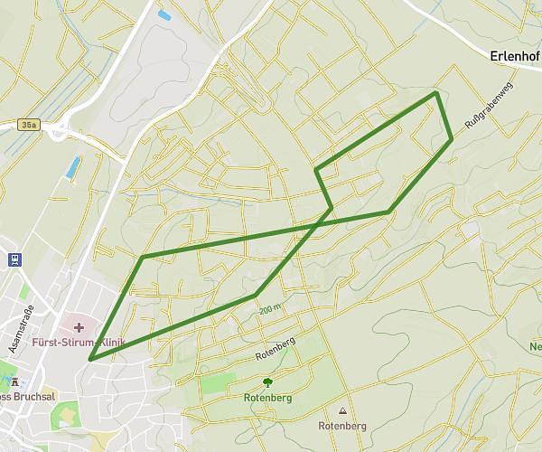
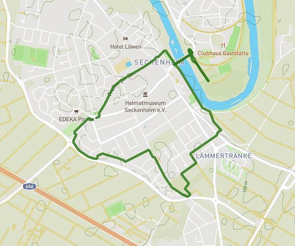
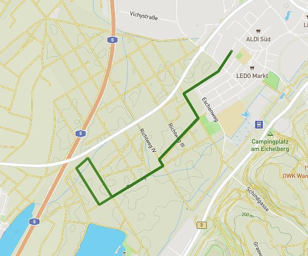
This running route covers 18.634mi starting from St. Leon-Rot, Baden-Württemberg. The run does not return to the trailhead and ends near Hauptstraße 141, 68789 St. Leon-Rot, Germany. This run is rated as strenuous, expect about 3h to complete it. The route has an elevation gain of 10ft and an elevation loss of 7ft.
30km Run
Route details
6.21mph
Speed
2058 kcal
Calories burned
Point to point
Route type
344ft
Min altitude
351ft
Max altitude
Route profile
10ft
Elevation gain
7ft
Elevation loss
344ft
Min altitude
351ft
Max altitude
How to get there
Trailhead: Am Bach 2, 68789 St. Leon-Rot, Germany
GPS coordinates of the trailhead: 49.26667, 8.60256 / 49°16'0'' N, 8°36'9'' E