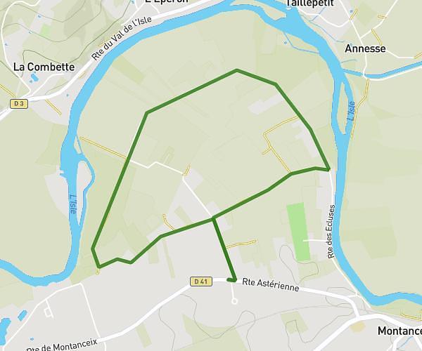
This running route covers 1.301mi starting from Saint-Félix-de-Villadeix, Dordogne. The run does not return to the trailhead and ends near Route De Sainte Alvère, 24520 Liorac-sur-Louyre, France. This run is rated as easy, expect about 12m59s to complete it. The route has an elevation gain of 98ft and an elevation loss of 292ft.
Frff
Route details
6.01mph
Speed
148 kcal
Calories burned
Point to point
Route type
276ft
Min altitude
486ft
Max altitude
Route profile
98ft
Elevation gain
292ft
Elevation loss
276ft
Min altitude
486ft
Max altitude
How to get there
Trailhead: 81 Chemin De La Valette, 24510 Saint-Félix-de-Villadeix, France
GPS coordinates of the trailhead: 44.91714, 0.65866 / 44°55'1'' N, 0°39'31'' E