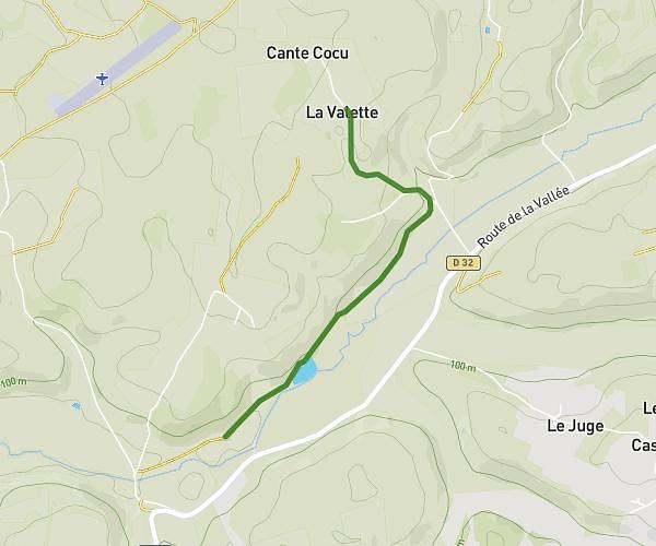
This running route covers 6.403mi starting from Saint-Julien-Innocence-Eulalie, Dordogne. The run does not return to the trailhead and ends near 513 Passage Des Anes, 47120 Eymet, France. This run is rated as moderate, expect about 1h9m to complete it. The route has an elevation gain of 0ft and an elevation loss of 223ft.
dordogne
Route details
5.57mph
Speed
789 kcal
Calories burned
Point to point
Route type
230ft
Min altitude
453ft
Max altitude
Route profile
0ft
Elevation gain
223ft
Elevation loss
230ft
Min altitude
453ft
Max altitude
How to get there
Trailhead: 132 Allée Des Orchidées, 24500 Saint-Julien-Innocence-Eulalie, France
GPS coordinates of the trailhead: 44.72447, 0.42898 / 44°43'28'' N, 0°25'44'' E