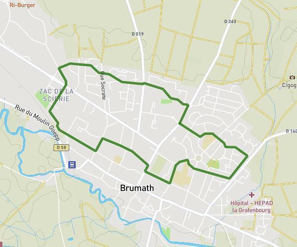
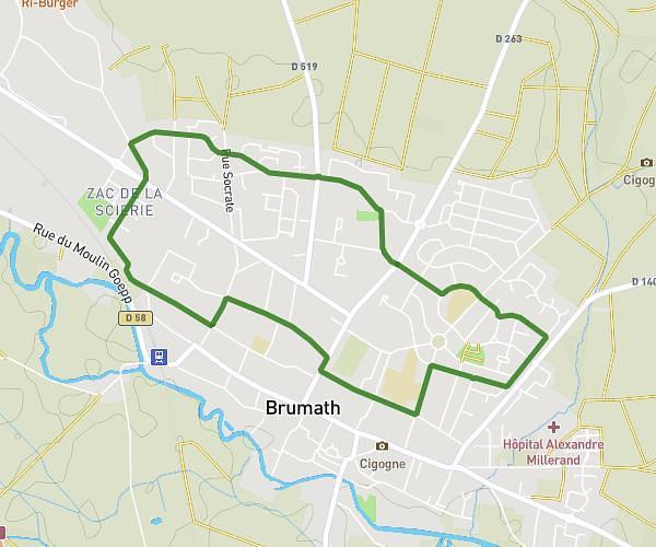
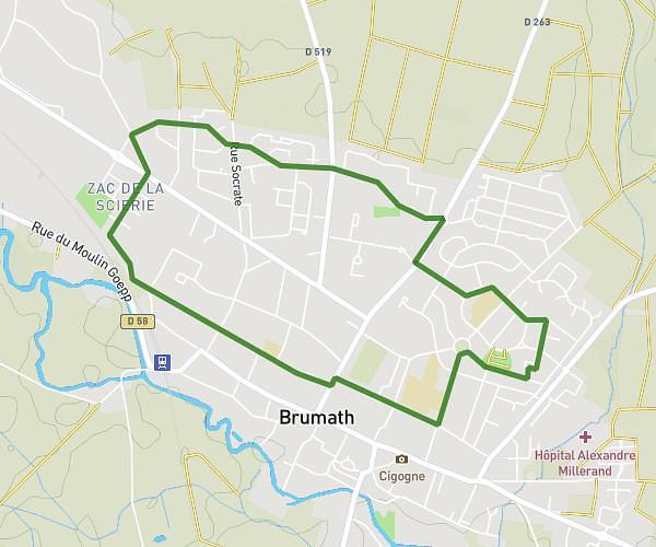
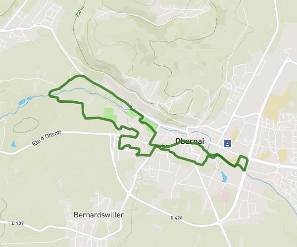
This running route covers 10.376mi starting from Friedolsheim, Bas-Rhin. The run does not return to the trailhead and ends near D 25, 67270 Alteckendorf. This run is rated as hard, expect about 2h to complete it. The route has an elevation gain of 167ft and an elevation loss of 266ft.
Malt & Run 2025
Route details
5.19mph
Speed
1372 kcal
Calories burned
Point to point
Route type
525ft
Min altitude
791ft
Max altitude
Route profile
167ft
Elevation gain
266ft
Elevation loss
525ft
Min altitude
791ft
Max altitude
How to get there
Trailhead: Rue Des Jardins, 67490 Friedolsheim
GPS coordinates of the trailhead: 48.70819, 7.48407 / 48°42'29'' N, 7°29'2'' E