MapPlanner
9.161mi
Distance
3h17m
Duration
21:30/mi
Pace
Easy
Level

17èm Lobatera

Route details

21:30/mi
Pace
804 kcal
Calories burned
Loop trail
Route type
1342ft
Min altitude
1690ft
Max altitude

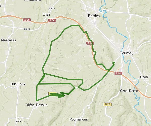
This walking route covers 9.161mi starting from Barbazan-Dessus, Hautes-Pyrénées. The walk is a loop trail and returns to the trailhead. This walk is rated as easy, plan for about 3h17m to complete it. The route has an elevation gain of 472ft and an elevation loss of 436ft.

Description of the route by the creator

Barbaz hillsides

(Description automatically translated)

Route profile

472ft
Elevation gain
436ft
Elevation loss
1342ft
Min altitude
1690ft
Max altitude

How to get there

Trailhead: 2 Cami De Piétat, 65360 Barbazan-Dessus, France

GPS coordinates of the trailhead: 43.16713, 0.14229 / 43°10'1'' N, 0°8'32'' E

Caution: May Cross Private Property

This route may pass through or near private property. Always respect posted signs, obtain permission where required, and follow local trespassing laws. MapPlanner does not guarantee public access along any route.

Safety Notice

Trail and road conditions may change without notice due to weather, construction, or other factors. Always verify current conditions before heading out. You are responsible for your own safety — follow local signage, obey traffic laws, and use your best judgment on the trail.