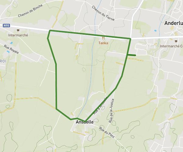
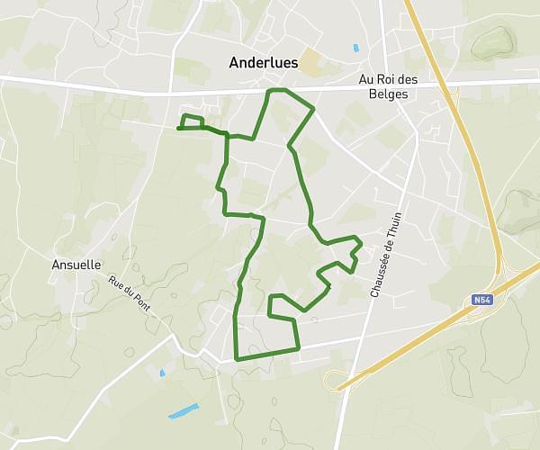
This running route covers 5.466mi starting from Courcelles, Hainaut. The run is a loop trail and returns to the trailhead. This run is rated as easy, expect about 1h4s to complete it. The route has an elevation gain of 207ft and an elevation loss of 207ft.
tour de montdelchive via canal
Route details
5.46mph
Speed
687 kcal
Calories burned
Loop trail
Route type
407ft
Min altitude
528ft
Max altitude
Route profile
207ft
Elevation gain
207ft
Elevation loss
407ft
Min altitude
528ft
Max altitude
How to get there
Trailhead: Rue De Montdelchive, 6181 Courcelles
GPS coordinates of the trailhead: 50.50225, 4.32107 / 50°30'8'' N, 4°19'15'' E