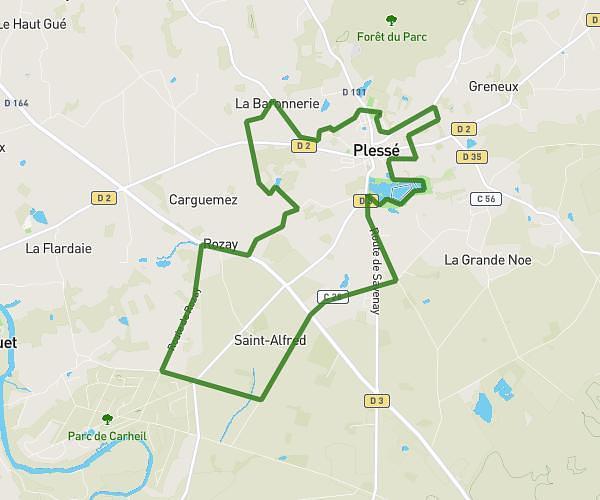
Explore this hiking route of 9,549mi starting from Donges, Loire-Atlantique. The hike is a loop and returns to the starting point. This hike has no defined difficulty level, plan for about 3h25m to complete it. The route has a positive elevation gain of 253ft and a negative elevation loss of 249ft.
les brouzils er
Route details
Route profile
253ft
Elevation +
249ft
Elevation -
-3ft
Min altitude
30ft
Max altitude
How to get there
Route starting point: 2 Les Brouzils, 44480 Donges, France
GPS coordinates of the starting point: 47.350025, -2.106696 / 47°21'0'' N, 2°6'24'' W