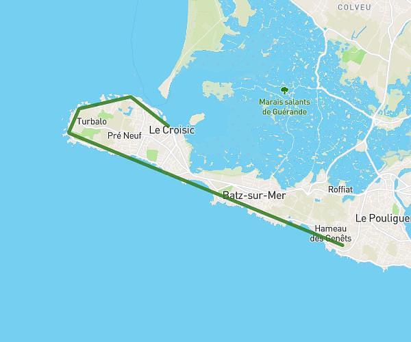
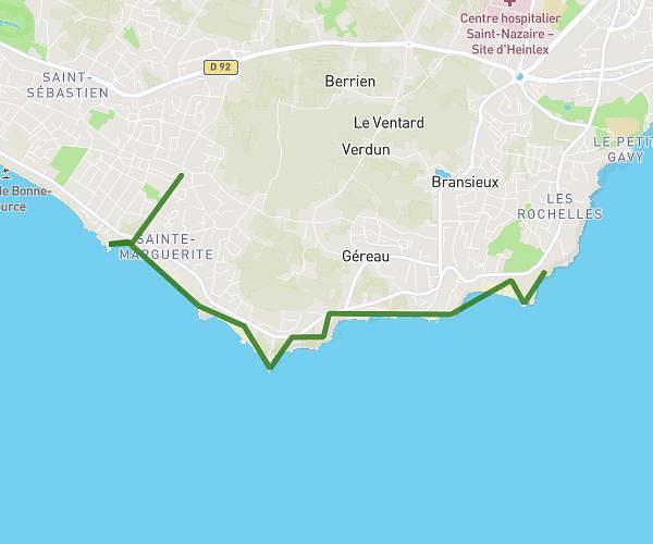
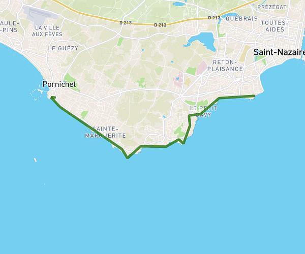
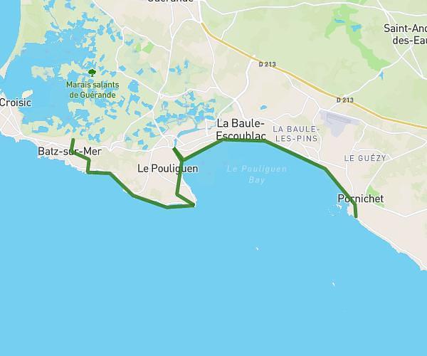
This hiking trail covers 10.603mi starting from La Baule-Escoublac, Loire-Atlantique. The hike does not return to the trailhead and ends near 11 Quai Du Mail De Broc, 44490 Le Croisic, France. This hike is rated as easy, plan for about 1h53m to complete it. The route has an elevation gain of 230ft and an elevation loss of 246ft.
Etape 3
Route details
5.63mph
Speed
796 kcal
Calories burned
0.8%
Avg grade
Point to point
Route type
3ft
Min altitude
59ft
Max altitude
Route profile
230ft
Elevation gain
246ft
Elevation loss
3ft
Min altitude
59ft
Max altitude
How to get there
Trailhead: Esplanade Vila Real De Santo António, 44500 La Baule-Escoublac, France
GPS coordinates of the trailhead: 47.27824, -2.37188 / 47°16'41'' N, 2°22'18'' W