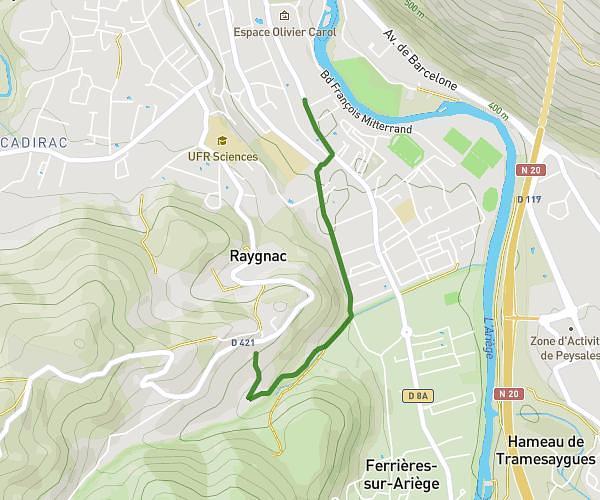
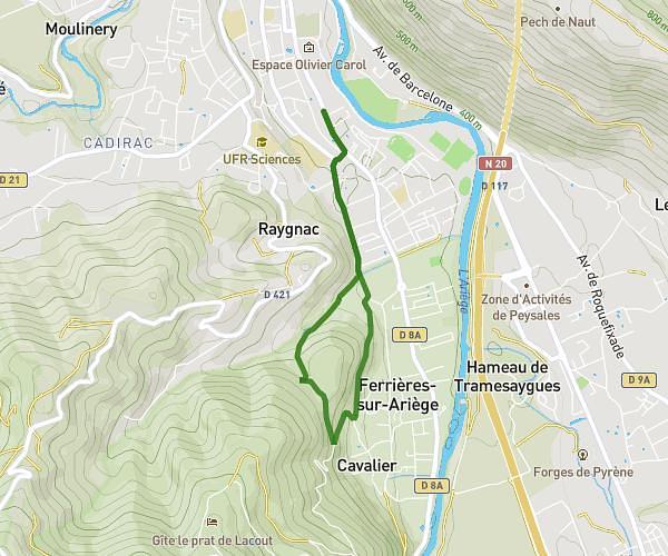
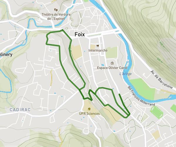
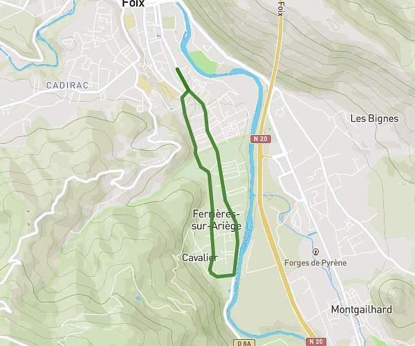
This running route covers 15.894mi starting from Le Peyrat, Ariège. The run is a loop trail and returns to the trailhead. This run is rated as moderate, expect about 2h13m to complete it. The route has an elevation gain of 344ft and an elevation loss of 318ft.
Plantaurel
Route details
7.15mph
Speed
1526 kcal
Calories burned
Loop trail
Route type
1371ft
Min altitude
1703ft
Max altitude
Route profile
344ft
Elevation gain
318ft
Elevation loss
1371ft
Min altitude
1703ft
Max altitude
How to get there
Trailhead: 6 Rue De La Maisonnette, 09600 Le Peyrat, France
GPS coordinates of the trailhead: 42.95701, 1.92169 / 42°57'25'' N, 1°55'18'' E