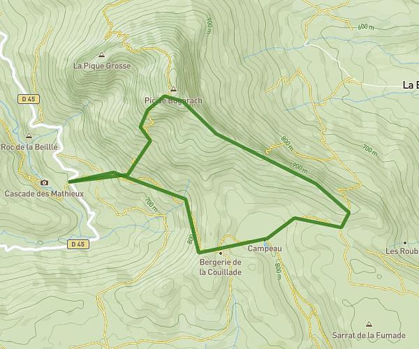
This running route covers 18.401mi starting from Prugnanes, Pyrénées-Orientales. The run does not return to the trailhead and ends near Sentier Cathare Sud, 11140 Marsa. This run is rated as strenuous, expect about 11h11m to complete it. The route has an elevation gain of 568ft and an elevation loss of 1811ft.
étape 2
Route details
1.65mph
Speed
7672 kcal
Calories burned
Point to point
Route type
1293ft
Min altitude
3028ft
Max altitude
Route profile
568ft
Elevation gain
1811ft
Elevation loss
1293ft
Min altitude
3028ft
Max altitude
How to get there
Trailhead: 66220 Prugnanes
GPS coordinates of the trailhead: 42.8401, 2.42029 / 42°50'24'' N, 2°25'13'' E