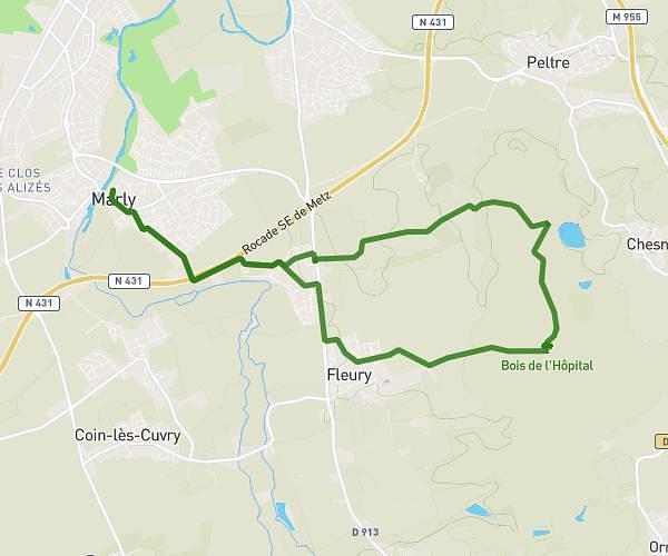
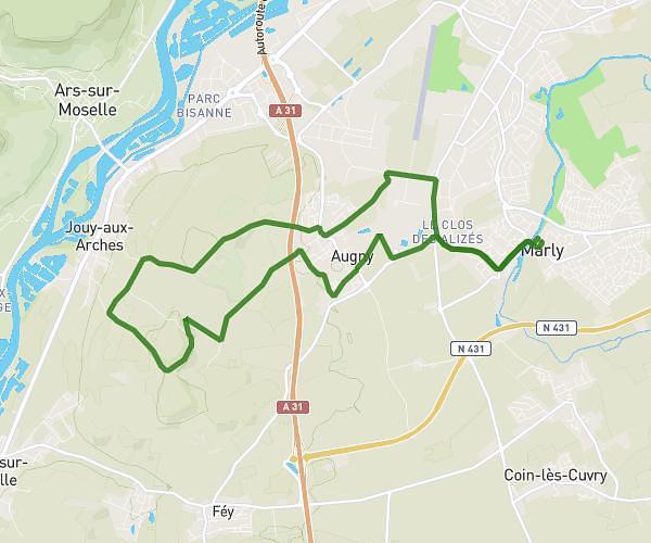
This running route covers 3.646mi starting from Jœuf, Meurthe-et-Moselle. The run is a loop trail and returns to the trailhead. This run is rated as easy, expect about 50m17s to complete it. The route has an elevation gain of 535ft and an elevation loss of 535ft.
c'est la montagne ou ?
Route details
4.35mph
Speed
575 kcal
Calories burned
Loop trail
Route type
568ft
Min altitude
971ft
Max altitude
Route profile
535ft
Elevation gain
535ft
Elevation loss
568ft
Min altitude
971ft
Max altitude
How to get there
Trailhead: Rue De Ravenne, 54240 Jœuf
GPS coordinates of the trailhead: 49.22988, 6.01908 / 49°13'47'' N, 6°1'8'' E