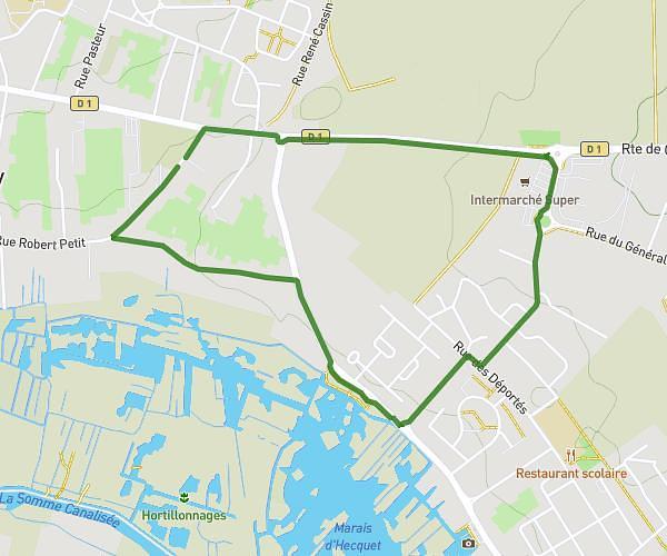
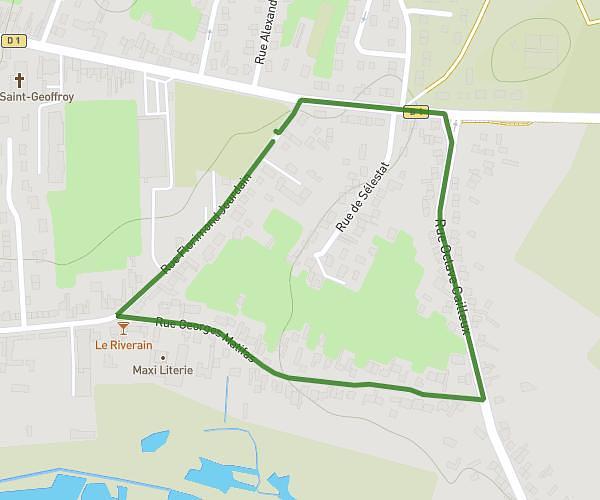
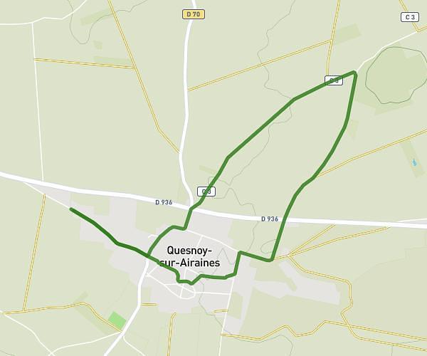
This running route covers 1.561mi starting from Rosières-en-Santerre, Somme. The run is a loop trail and returns to the trailhead. This run is rated as easy, expect about 17m to complete it. The route has an elevation gain of 3ft and an elevation loss of 3ft.
boucle 2.5 color run
Route details
5.51mph
Speed
194 kcal
Calories burned
Loop trail
Route type
295ft
Min altitude
299ft
Max altitude
Route profile
3ft
Elevation gain
3ft
Elevation loss
295ft
Min altitude
299ft
Max altitude
How to get there
Trailhead: Rue Des Anciens Combattants, 80170 Rosières-en-Santerre, France
GPS coordinates of the trailhead: 49.811651, 2.695153 / 49°48'41'' N, 2°41'42'' E