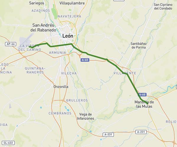
This hiking trail covers 8.38mi starting from Valverde de la Virgen, León. The hike does not return to the trailhead and ends near N-120, 24392 Villadangos del Páramo, León, Spain. This hike is rated as easy, plan for about 3h to complete it. The route has an elevation gain of 262ft and an elevation loss of 354ft.
20230612 -2- Virgen del Camino à Villadangos del Paramo
Route details
2.8mph
Speed
1272 kcal
Calories burned
1.4%
Avg grade
Point to point
Route type
2884ft
Min altitude
3015ft
Max altitude
Route profile
262ft
Elevation gain
354ft
Elevation loss
2884ft
Min altitude
3015ft
Max altitude
How to get there
Trailhead: Calle Javier Pascual 5, 24198 Valverde de la Virgen, León, Spain
GPS coordinates of the trailhead: 42.58331, -5.64331 / 42°34'59'' N, 5°38'35'' W