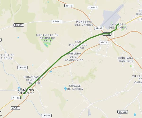
This hiking trail covers 15.045mi starting from Mansilla de las Mulas, León. The hike does not return to the trailhead and ends near Calle Zamora 6, 24198 Valverde de la Virgen, León, Spain. This hike is rated as moderate, plan for about 7h to complete it. The route has an elevation gain of 794ft and an elevation loss of 430ft.
20230612 Mansilla de las Mulas vers Virgen del Camino
Route details
2.15mph
Speed
2989 kcal
Calories burned
1.5%
Avg grade
Point to point
Route type
2592ft
Min altitude
2979ft
Max altitude
Route profile
794ft
Elevation gain
430ft
Elevation loss
2592ft
Min altitude
2979ft
Max altitude
How to get there
Trailhead: Carretera Adanero - León 8, 24210 Mansilla de las Mulas, León, Spain
GPS coordinates of the trailhead: 42.50021, -5.41129 / 42°30'0'' N, 5°24'40'' W