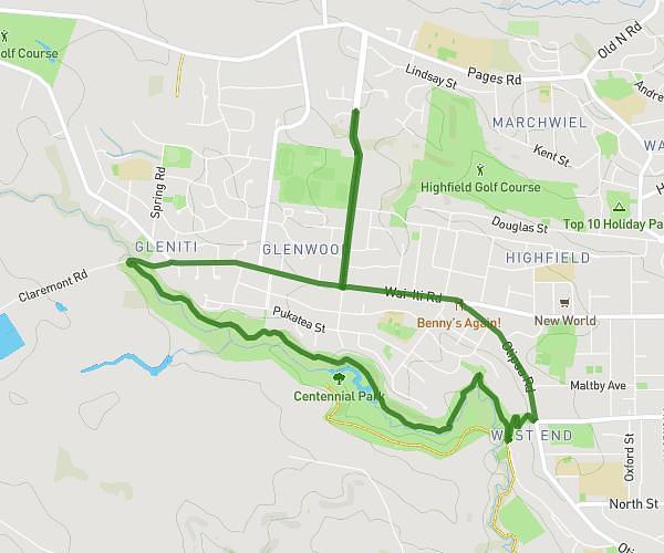
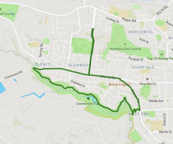
This cycling route covers 4.358mi starting from Timaru, Canterbury. The ride does not return to the trailhead and ends near Morgans Road, 7910 Timaru. This route is rated as easy, plan for about 27m to complete it. The route has an elevation gain of 328ft and an elevation loss of 197ft.
Bay
Route details
241 kcal
Calories burned
2.3%
Avg grade
Point to point
Route type
0ft
Min altitude
210ft
Max altitude
Route profile
328ft
Elevation gain
197ft
Elevation loss
0ft
Min altitude
210ft
Max altitude
How to get there
Trailhead: Z Energy, 7910 Timaru
GPS coordinates of the trailhead: -44.39375, 171.24761 / 44°23'37'' S, 171°14'51'' E