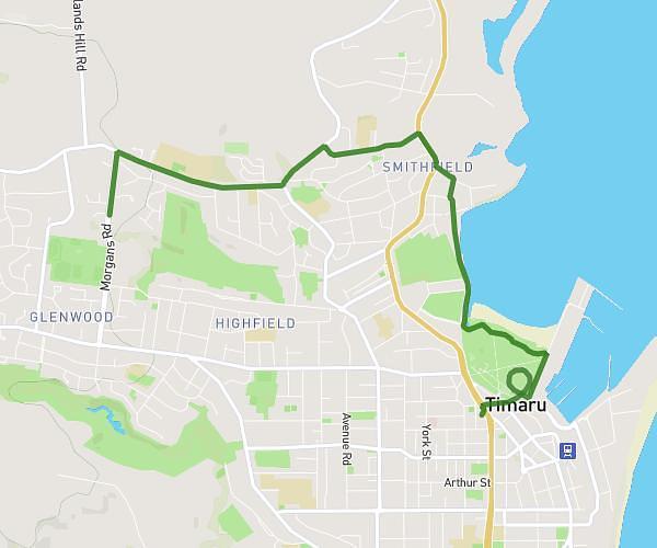
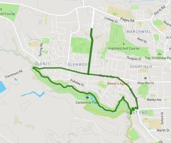
This cycling route covers 5.467mi starting from Timaru, Canterbury. The ride is a loop trail and returns to the trailhead. This route is rated as easy, plan for about 28m to complete it. The route has an elevation gain of 423ft and an elevation loss of 423ft.
Sundee morn Scenic
Route details
250 kcal
Calories burned
2.9%
Avg grade
Loop trail
Route type
52ft
Min altitude
233ft
Max altitude
Route profile
423ft
Elevation gain
423ft
Elevation loss
52ft
Min altitude
233ft
Max altitude
How to get there
Trailhead: Morgans Road, 7910 Timaru
GPS coordinates of the trailhead: -44.37945, 171.21065 / 44°22'46'' S, 171°12'38'' E