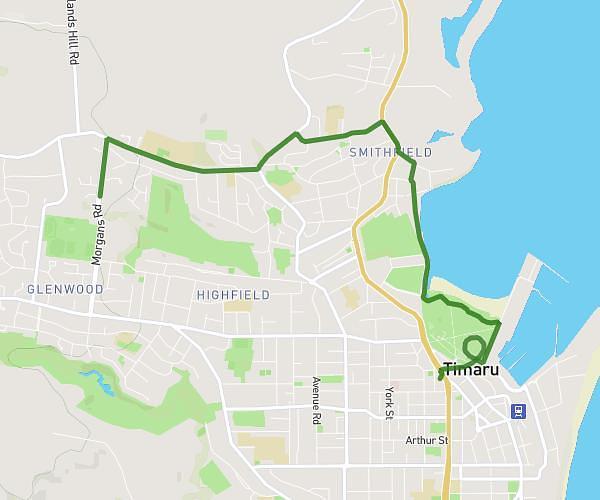
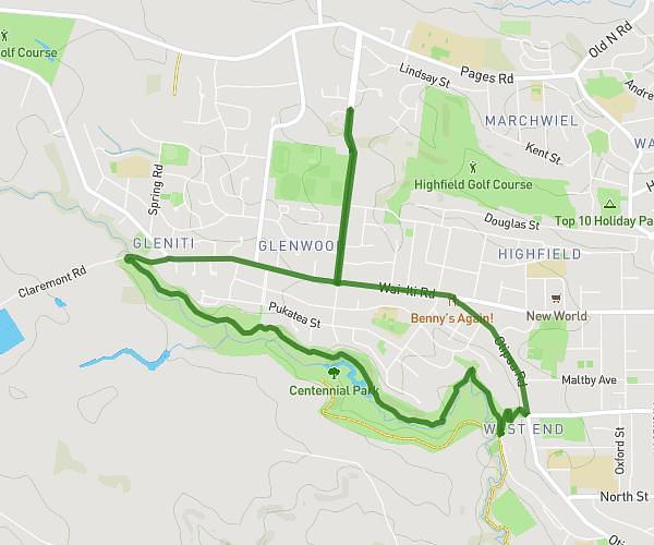
Explore this cycling route of 8.8km starting from Timaru, Canterbury. The ride is a loop and returns to the starting point. This route has no defined difficulty level, plan for about 28m to complete it. The route has a positive elevation gain of 129m and a negative elevation loss of 129m.
Sundee morn Scenic
Route details
Route profile
129m
Elevation +
129m
Elevation -
16m
Min altitude
71m
Max altitude
How to get there
Route starting point: Morgans Road, 7910 Timaru
GPS coordinates of the starting point: -44.37945, 171.21065 / 44°22'46'' S, 171°12'38'' E
Calculate the time to reach the starting point from your location or an address