MapPlanner
3.637mi
Distance
36m21s
Duration
10:00/mi
Pace
Easy
Level

RN L'éguille

Route details

6.0mph
Speed
416 kcal
Calories burned
Loop trail
Route type
7ft
Min altitude
20ft
Max altitude

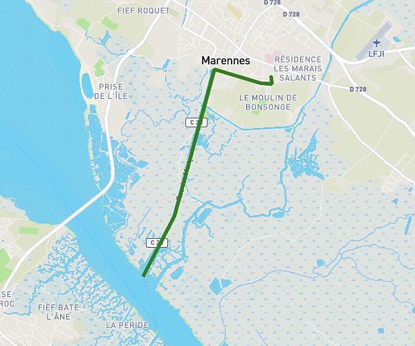
This running route covers 3.637mi starting from Saujon, Charente-Maritime. The run is a loop trail and returns to the trailhead. This run is rated as easy, expect about 36m21s to complete it. The route has an elevation gain of 20ft and an elevation loss of 13ft.

Description of the route by the creator

garden exit of the breuil_ le bot_ national l'éguille_

(Description automatically translated)

Route profile

20ft
Elevation gain
13ft
Elevation loss
7ft
Min altitude
20ft
Max altitude

How to get there

Trailhead: 27 Rue Du Centre, 17600 Saujon, France

GPS coordinates of the trailhead: 45.68845, -0.95499 / 45°41'18'' N, 0°57'17'' W

Caution: May Cross Private Property

This route may pass through or near private property. Always respect posted signs, obtain permission where required, and follow local trespassing laws. MapPlanner does not guarantee public access along any route.

Safety Notice

Trail and road conditions may change without notice due to weather, construction, or other factors. Always verify current conditions before heading out. You are responsible for your own safety — follow local signage, obey traffic laws, and use your best judgment on the trail.