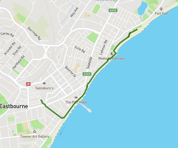
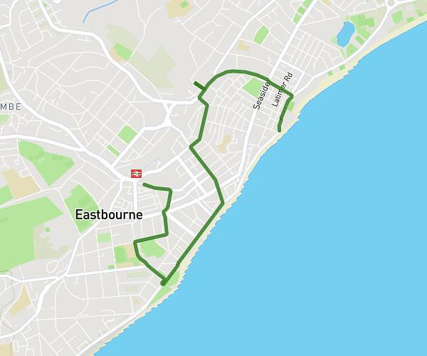
This walking route covers 1.027mi starting from Hastings, England. The walk is a loop trail and returns to the trailhead. This walk is rated as easy, plan for about 22m to complete it. The route has an elevation gain of 105ft and an elevation loss of 108ft.
Me & Cha small walk
Route details
21:25/mi
Pace
90 kcal
Calories burned
Loop trail
Route type
220ft
Min altitude
285ft
Max altitude
Route profile
105ft
Elevation gain
108ft
Elevation loss
220ft
Min altitude
285ft
Max altitude
How to get there
Trailhead: 65 Hardwicke Road, Hastings, TN34 3PE, United Kingdom
GPS coordinates of the trailhead: 50.866263, 0.597776 / 50°51'58'' N, 0°35'51'' E