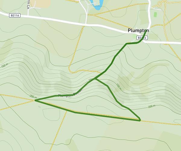
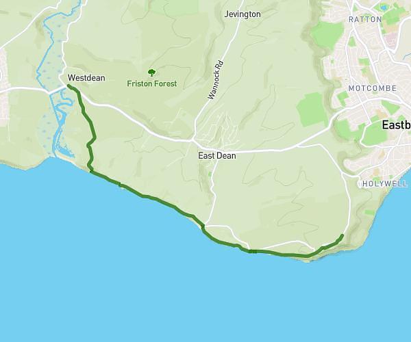
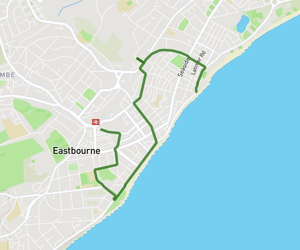
This walking route covers 1.68mi starting from Eastbourne, England. The walk does not return to the trailhead and ends near 24 Cornfield Road, Eastbourne, BN21 4QH, United Kingdom. This walk is rated as easy, plan for about 36m to complete it. The route has an elevation gain of 95ft and an elevation loss of 82ft.
Pier to car park
Route details
21:25/mi
Pace
147 kcal
Calories burned
Point to point
Route type
13ft
Min altitude
52ft
Max altitude
Route profile
95ft
Elevation gain
82ft
Elevation loss
13ft
Min altitude
52ft
Max altitude
How to get there
Trailhead: The Oval, Eastbourne, BN22 7AA, United Kingdom
GPS coordinates of the trailhead: 50.77747, 0.30621 / 50°46'38'' N, 0°18'22'' E