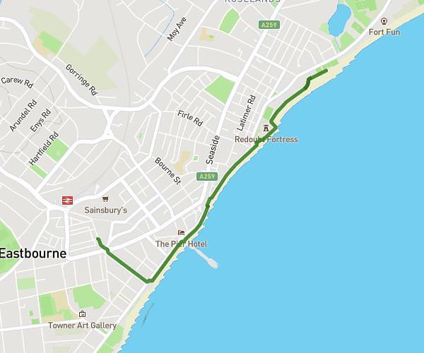
This walking route covers 6.634mi starting from Seaford, England. The walk does not return to the trailhead and ends near BN20 7YA, Eastbourne, East Sussex, England, United Kingdom. This walk is rated as hard, plan for about 3h22m to complete it. The route has an elevation gain of 1713ft and an elevation loss of 1234ft.
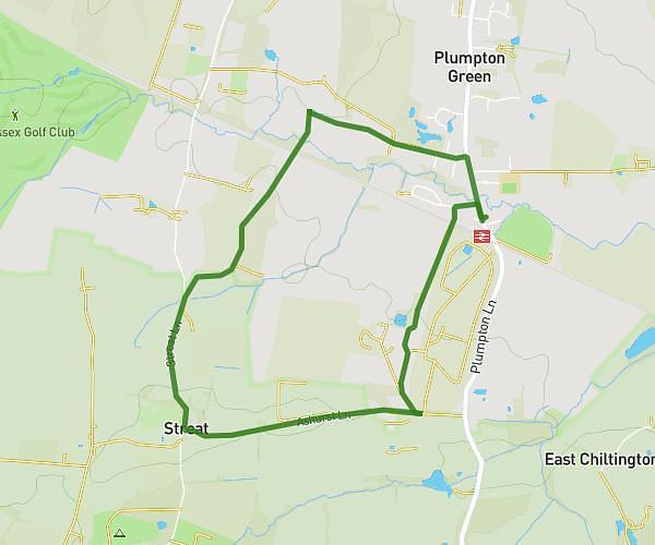
Seven sisters
Route details
30:28/mi
Pace
825 kcal
Calories burned
Point to point
Route type
3ft
Min altitude
515ft
Max altitude
Route profile
1713ft
Elevation gain
1234ft
Elevation loss
3ft
Min altitude
515ft
Max altitude
How to get there
Trailhead: East Dean Road, Westdean, Seaford, BN25 4AD, United Kingdom
GPS coordinates of the trailhead: 50.77545, 0.15318 / 50°46'31'' N, 0°9'11'' E