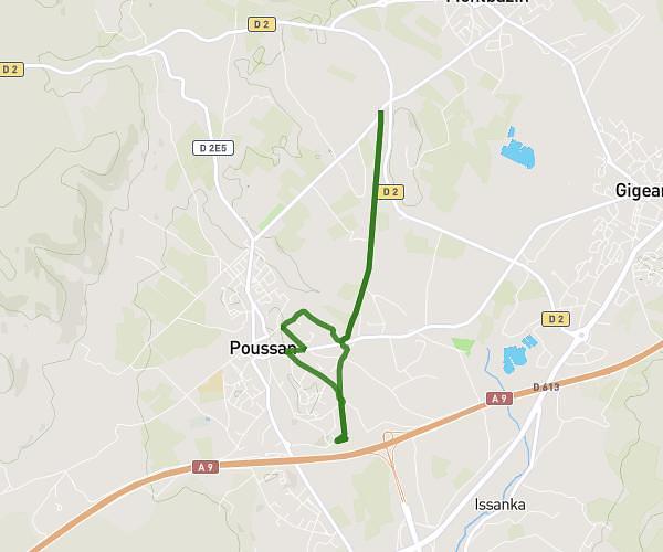
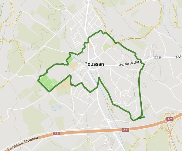
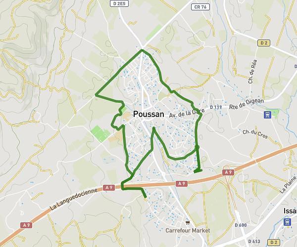
This running route covers 0.69mi starting from Pérols, Hérault. The run is a loop trail and returns to the trailhead. This run is rated as easy, expect about 6m29s to complete it. The route has an elevation gain of 23ft and an elevation loss of 23ft.
Parcours CE1
Route details
6.39mph
Speed
74 kcal
Calories burned
Loop trail
Route type
-3ft
Min altitude
7ft
Max altitude
Route profile
23ft
Elevation gain
23ft
Elevation loss
-3ft
Min altitude
7ft
Max altitude
How to get there
Trailhead: Résidence Le Mas De Pérols, 34470 Pérols
GPS coordinates of the trailhead: 43.55295, 3.95054 / 43°33'10'' N, 3°57'1'' E