MapPlanner
2.579mi
Distance
55m
Duration
+82ft
Elevation gain
-79ft
Elevation loss
Easy
Level

Sommesous 2308

Route details

2.81mph
Speed
389 kcal
Calories burned
1.2%
Avg grade
Loop trail
Route type
538ft
Min altitude
597ft
Max altitude

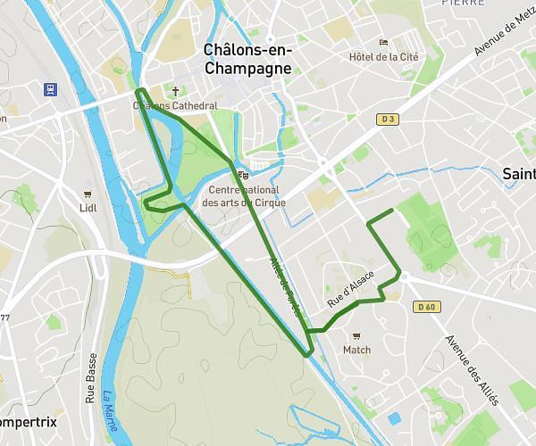
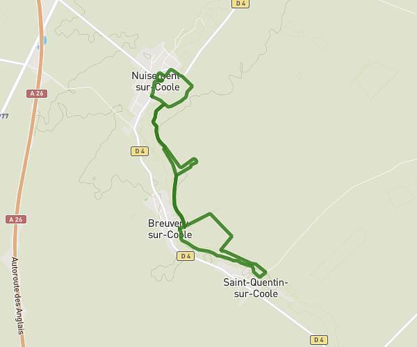
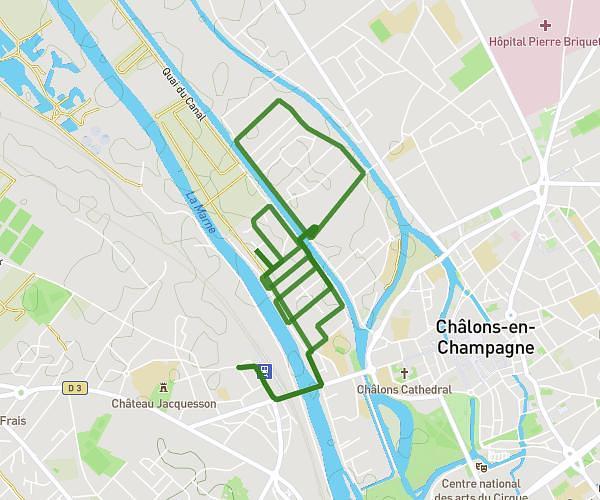
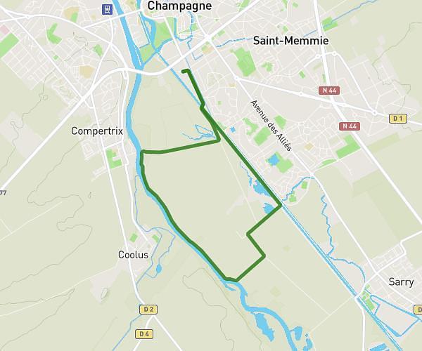
This hiking trail covers 2.579mi starting from Sommesous, Marne. The hike is a loop trail and returns to the trailhead. This hike is rated as easy, plan for about 55m to complete it. The route has an elevation gain of 82ft and an elevation loss of 79ft.

Route profile

82ft
Elevation gain
79ft
Elevation loss
538ft
Min altitude
597ft
Max altitude

How to get there

Trailhead: Rue Du Châtel, 51320 Sommesous

GPS coordinates of the trailhead: 48.73786, 4.20562 / 48°44'16'' N, 4°12'20'' E

Caution: May Cross Private Property

This route may pass through or near private property. Always respect posted signs, obtain permission where required, and follow local trespassing laws. MapPlanner does not guarantee public access along any route.

Safety Notice

Trail and road conditions may change without notice due to weather, construction, or other factors. Always verify current conditions before heading out. You are responsible for your own safety — follow local signage, obey traffic laws, and use your best judgment on the trail.