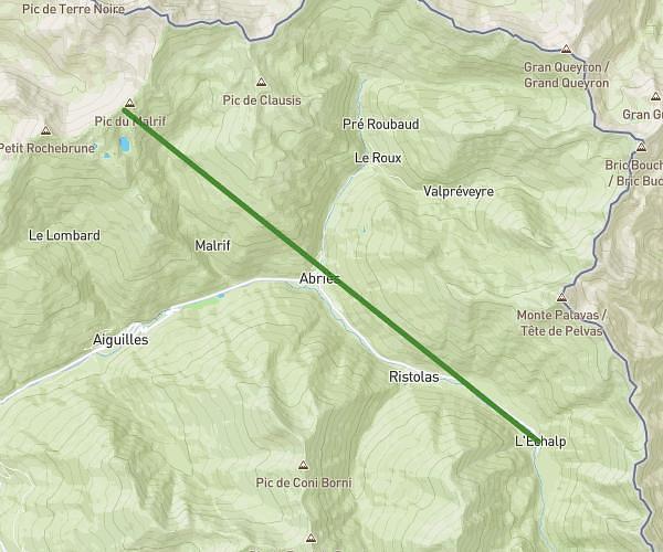
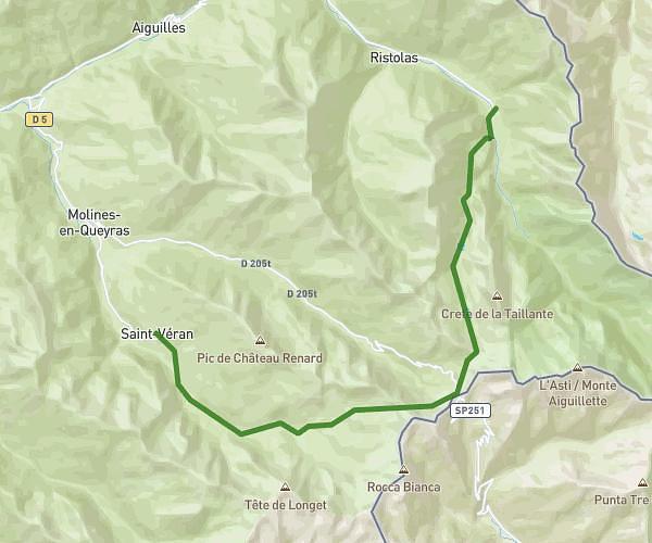
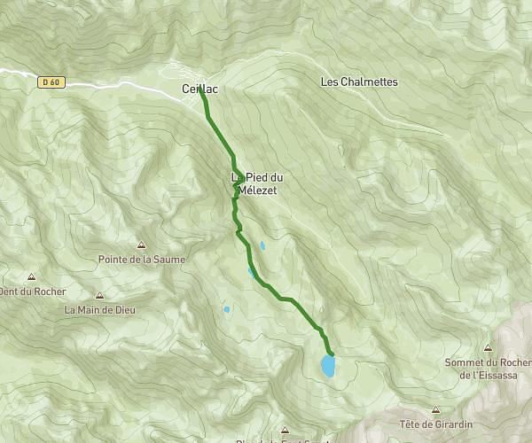
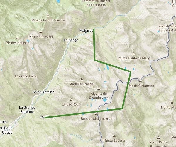
This hiking trail covers 22.212mi starting from Ceillac, Hautes-Alpes. The hike does not return to the trailhead and ends near 62 Rue Des Tre Suore, 05460 Abriès-Ristolas, France. This hike is rated as strenuous, plan for about 12h to complete it. The route has an elevation gain of 7211ft and an elevation loss of 7014ft.
Tour du Queyras 1ère journée
Route details
1.85mph
Speed
5557 kcal
Calories burned
12.1%
Avg grade
Point to point
Route type
5367ft
Min altitude
9406ft
Max altitude
High altitude
Steep climb
Route profile
7211ft
Elevation gain
7014ft
Elevation loss
5367ft
Min altitude
9406ft
Max altitude
How to get there
Trailhead: 34 Rue Du Claus, 05600 Ceillac, France
GPS coordinates of the trailhead: 44.66635, 6.77558 / 44°39'58'' N, 6°46'32'' E