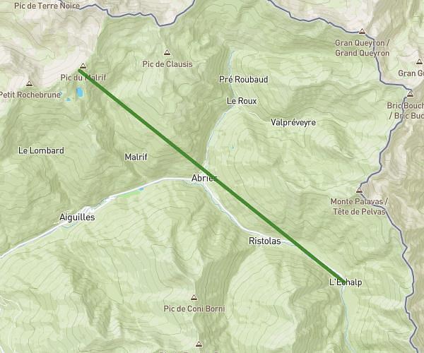
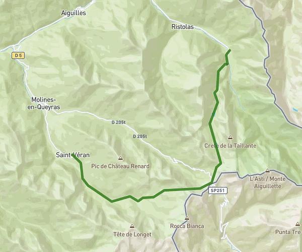
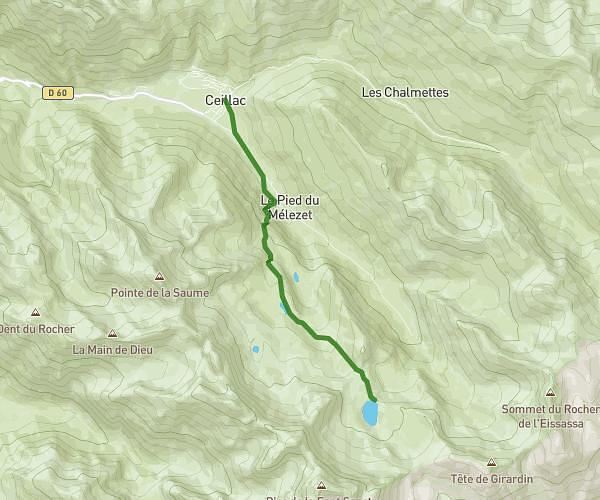
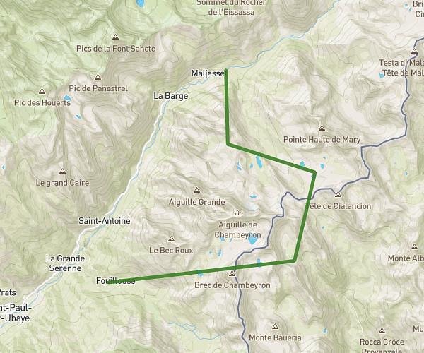
This hiking trail covers 22.684mi starting from Château-Ville-Vieille, Hautes-Alpes. The hike does not return to the trailhead and ends near 71 Rue De Vière, 05600 Ceillac, France. This hike is rated as strenuous, plan for about 12h51m to complete it. The route has an elevation gain of 7812ft and an elevation loss of 8438ft.
Tour du Queyras 3éme journée
Route details
1.76mph
Speed
5984 kcal
Calories burned
13.6%
Avg grade
Point to point
Route type
4022ft
Min altitude
8094ft
Max altitude
Steep climb
Route profile
7812ft
Elevation gain
8438ft
Elevation loss
4022ft
Min altitude
8094ft
Max altitude
How to get there
Trailhead: 50 Montée Du Cayre, 05350 Château-Ville-Vieille, France
GPS coordinates of the trailhead: 44.77532, 6.76924 / 44°46'31'' N, 6°46'9'' E