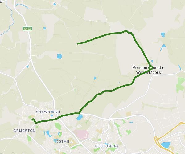
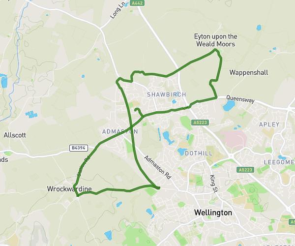
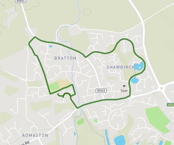
This cycling route covers 7.694mi starting from Telford, England. The ride is a loop trail and returns to the trailhead. This route is rated as easy, plan for about 48m to complete it. The route has an elevation gain of 285ft and an elevation loss of 285ft.
2nd bike actual
Route details
424 kcal
Calories burned
1.4%
Avg grade
Loop trail
Route type
200ft
Min altitude
367ft
Max altitude
Route profile
285ft
Elevation gain
285ft
Elevation loss
200ft
Min altitude
367ft
Max altitude
How to get there
Trailhead: 70 Brandon Avenue, Telford, TF5 0DU, United Kingdom
GPS coordinates of the trailhead: 52.71768, -2.53951 / 52°43'3'' N, 2°32'22'' W