MapPlanner
2.428mi
Distance
15m
Duration
9.71mph
Speed
+62ft
Elevation gain
-59ft
Elevation loss
Easy
Level

Phil

Route details

132 kcal
Calories burned
0.9%
Avg grade
Loop trail
Route type
203ft
Min altitude
240ft
Max altitude

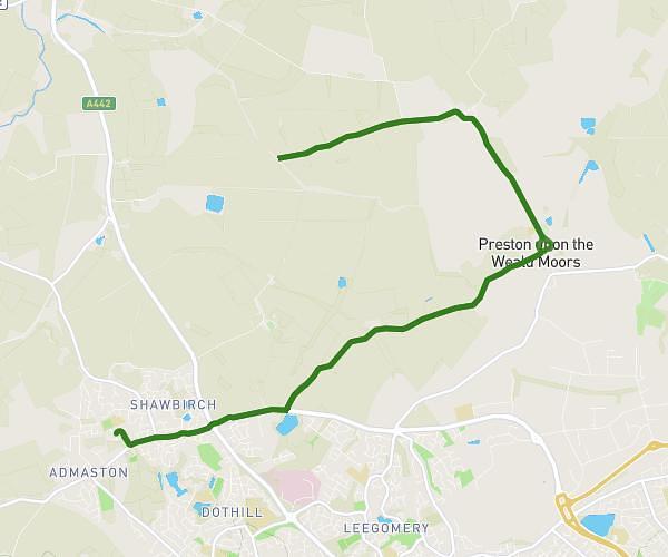
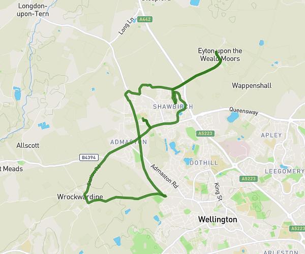
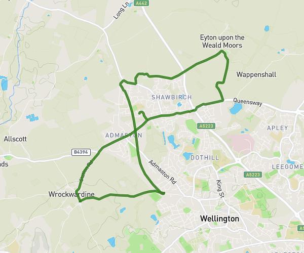
This cycling route covers 2.428mi starting from Telford, England. The ride is a loop trail and returns to the trailhead. This route is rated as easy, plan for about 15m to complete it. The route has an elevation gain of 62ft and an elevation loss of 59ft.

Description of the route by the creator

1st test Kate.

Route profile

62ft
Elevation gain
59ft
Elevation loss
203ft
Min altitude
240ft
Max altitude

How to get there

Trailhead: Brandon Avenue, TF5 0DX Telford

GPS coordinates of the trailhead: 52.71741, -2.53963 / 52°43'2'' N, 2°32'22'' W

Caution: May Cross Private Property

This route may pass through or near private property. Always respect posted signs, obtain permission where required, and follow local trespassing laws. MapPlanner does not guarantee public access along any route.

Safety Notice

Trail and road conditions may change without notice due to weather, construction, or other factors. Always verify current conditions before heading out. You are responsible for your own safety — follow local signage, obey traffic laws, and use your best judgment on the trail.