MapPlanner
2.909mi
Distance
1h2m
Duration
21:19/mi
Pace
Easy
Level

Jan 29

Route details

21:19/mi
Pace
253 kcal
Calories burned
Loop trail
Route type
223ft
Min altitude
302ft
Max altitude

This walking route covers 2.909mi starting from Telford, England. The walk is a loop trail and returns to the trailhead. This walk is rated as easy, plan for about 1h2m to complete it. The route has an elevation gain of 108ft and an elevation loss of 105ft.

Description of the route by the creator

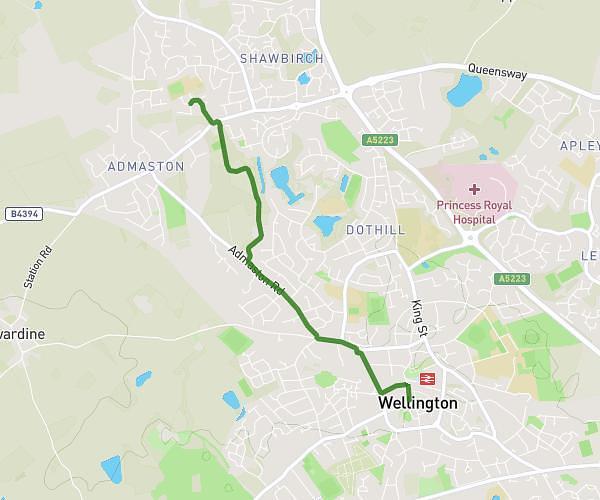
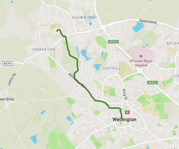
Silkin way to wellington and back along Admaston Road home.

Route profile

108ft
Elevation gain
105ft
Elevation loss
223ft
Min altitude
302ft
Max altitude

How to get there

Trailhead: Brandon Avenue, TF5 0DX Telford

GPS coordinates of the trailhead: 52.71752, -2.53963 / 52°43'3'' N, 2°32'22'' W

Caution: May Cross Private Property

This route may pass through or near private property. Always respect posted signs, obtain permission where required, and follow local trespassing laws. MapPlanner does not guarantee public access along any route.

Safety Notice

Trail and road conditions may change without notice due to weather, construction, or other factors. Always verify current conditions before heading out. You are responsible for your own safety — follow local signage, obey traffic laws, and use your best judgment on the trail.