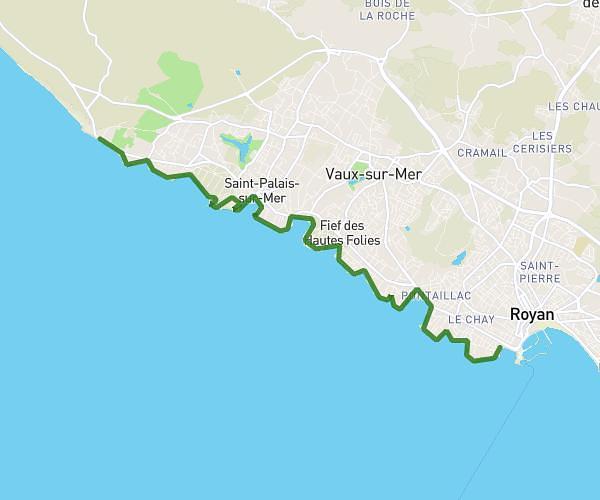
This hiking trail covers 13.081mi starting from Le Château-d'Oléron, Charente-Maritime. The hike does not return to the trailhead and ends near Avenue D'antioche, 17480 Le Château-d'Oléron. This hike is rated as easy, plan for about 2h6m to complete it. The route has an elevation gain of 190ft and an elevation loss of 190ft.
marathon Oléron 3
Route details
6.21mph
Speed
888 kcal
Calories burned
0.6%
Avg grade
Point to point
Route type
0ft
Min altitude
30ft
Max altitude
Route profile
190ft
Elevation gain
190ft
Elevation loss
0ft
Min altitude
30ft
Max altitude
How to get there
Trailhead: Avenue De La Citadelle, 17480 Le Château-d'Oléron
GPS coordinates of the trailhead: 45.88509, -1.19251 / 45°53'6'' N, 1°11'33'' W