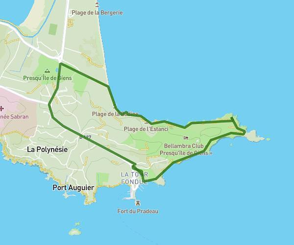
This running route covers 5.342mi starting from Solliès-Pont, Var. The run is a loop trail and returns to the trailhead. This run is rated as moderate, expect about 1h4m to complete it. The route has an elevation gain of 591ft and an elevation loss of 610ft.
trkl
Route details
4.97mph
Speed
737 kcal
Calories burned
Loop trail
Route type
207ft
Min altitude
817ft
Max altitude
Route profile
591ft
Elevation gain
610ft
Elevation loss
207ft
Min altitude
817ft
Max altitude
How to get there
Trailhead: Rue De Strasbourg, 83210 Solliès-Pont
GPS coordinates of the trailhead: 43.19902, 6.0462 / 43°11'56'' N, 6°2'46'' E